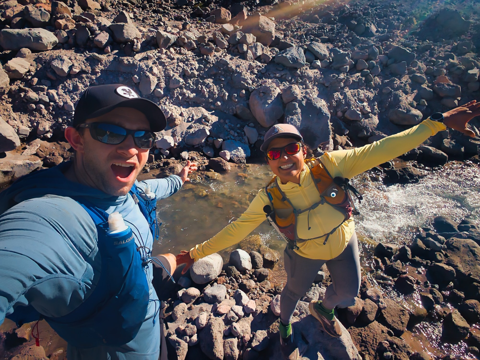
Sandy :
Logistics
| Item | Value |
|---|---|
| Date and time started | July 11, 2026, 6:33am |
| Date and time finished | July 12, 2026, 12:22am |
| Distance | 43.3 miles https://www.strava.com/activities/19278278381 |
| Elevation gain | 10,105 feet |
| Style | Unsupported day effort |
| Elapsed time | 17 hours 49 minutes |
| Average pace | 24:41 mins/mile |
| Direction | Counter clockwise |
| Trailhead | Timberline Lodge |
| River and creeks crossed | White River, Mitchell Creek, Heather Creek, Newton Creek, South Fork Cold Spring, Tilly Jane Creek, Eliot River, Compass Creek, Coe branch, Ladd creek, Glisan creek, McGee Creek, Muddy Fork, Sandy River, Lost Creek, Zigzag River |
| Rivers required fording | Eliot River, Muddy Fork, Sandy River, Lost Creek, Zigzag River |
| Trail conditions | Early season one can run with just 0.5L of water, there is a lot of water everywhere. Approximately 240 trees are down, some overgrown vegetation and eroding trails which I have marked in the map. |
| Nutrition | We didn’t stop anywhere for lunch so we carried lots of snacks, Indian deserts, Rick’s nut butter and oat protein balls, etc. I probably consumed 6g of salt and 600 mg of caffeine |
| Other gear | Trekking poles, headlamp, water filter, wind breaker, sunscreen |
| Previous completions | Sept 7, 2019 clockwise and July 25, 2021 clockwise |
This was our earliest-in-the-season lap and our first time traveling counterclockwise. It was also the first time we stayed on the Timberline Trail for the entire loop. In 2021, a severe windstorm had left hundreds of blowdowns across the west and northwest sides of Mount Hood, forcing a detour onto the Pacific Crest Trail. Five years later, we returned to find that the official trail was technically open—but “open” is a flexible term when several hundred trees are lying across it. All the photos below are chronologically ordered.
A warning from Mount Rainier
The previous weekend, we had tested our fastpacking setup on the north side of Mount Rainier. Our original plan was the Mother Mountain–Northern Loop combination, but at the ranger station we learned that three bridges on the Northern Loop were down. Instead, we ran out and back from Sunrise to Cataract Valley Camp, on the Spray Park Trail. We encountered fewer blowdowns than expected, but Carbon River was raging both at 6:30 a.m. and again at 4:30 p.m., and water was pouring through numerous creeks across the trail. That gave us a useful preview: the rivers around Mount Hood were also likely to be high. We therefore chose to run Timberline counterclockwise, hoping to reach Eliot Branch earlier in the day, before afternoon snowmelt increased the flow. It was a sound plan. The mountain merely declined to make the crossing easy.
A luxurious 6:33 a.m. start
We prioritized sleep over an alpine start and began running at 6:33 a.m. “Prioritized sleep” meant waking at 3:30 a.m., leaving home at 4:30, and driving approximately 1 hour 45 minutes to Timberline Lodge. By ordinary standards, this is not sleeping in. By ultrarunning standards, it is practically brunch. We brought coffee from home but stopped at a coffee cart in Rhododendron that appeared to be open. It was not. It would open in another 15 minutes, which was 15 minutes longer than our pre-run patience allowed. When we reached Timberline Lodge, the air was cold and the wind was already active. We initially parked near the bathrooms, used the facilities, organized our gear, and then moved the car to the overnight parking area.
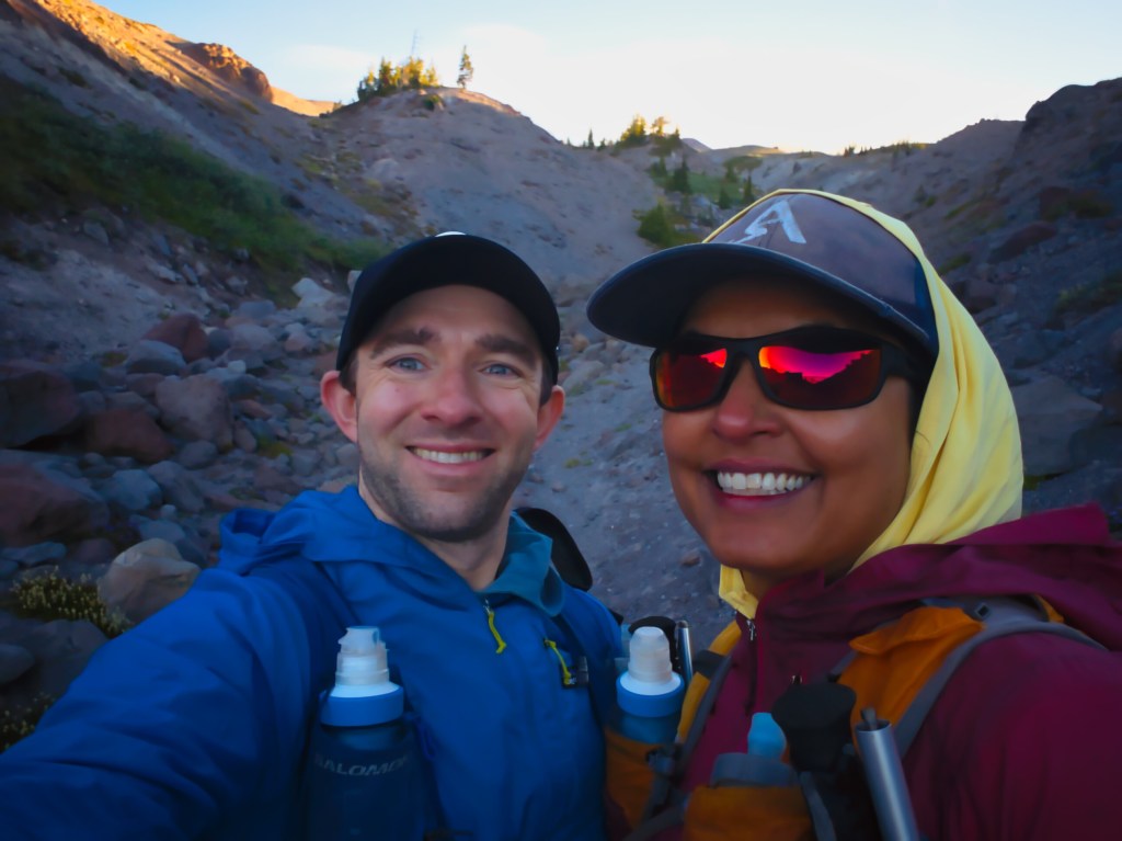
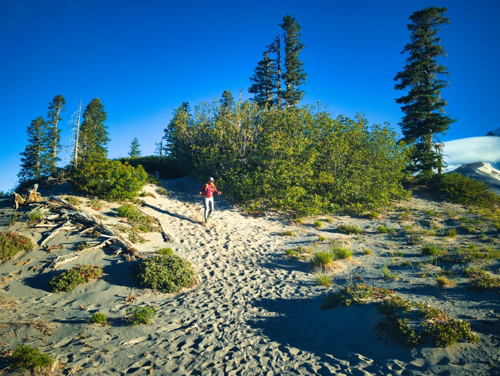
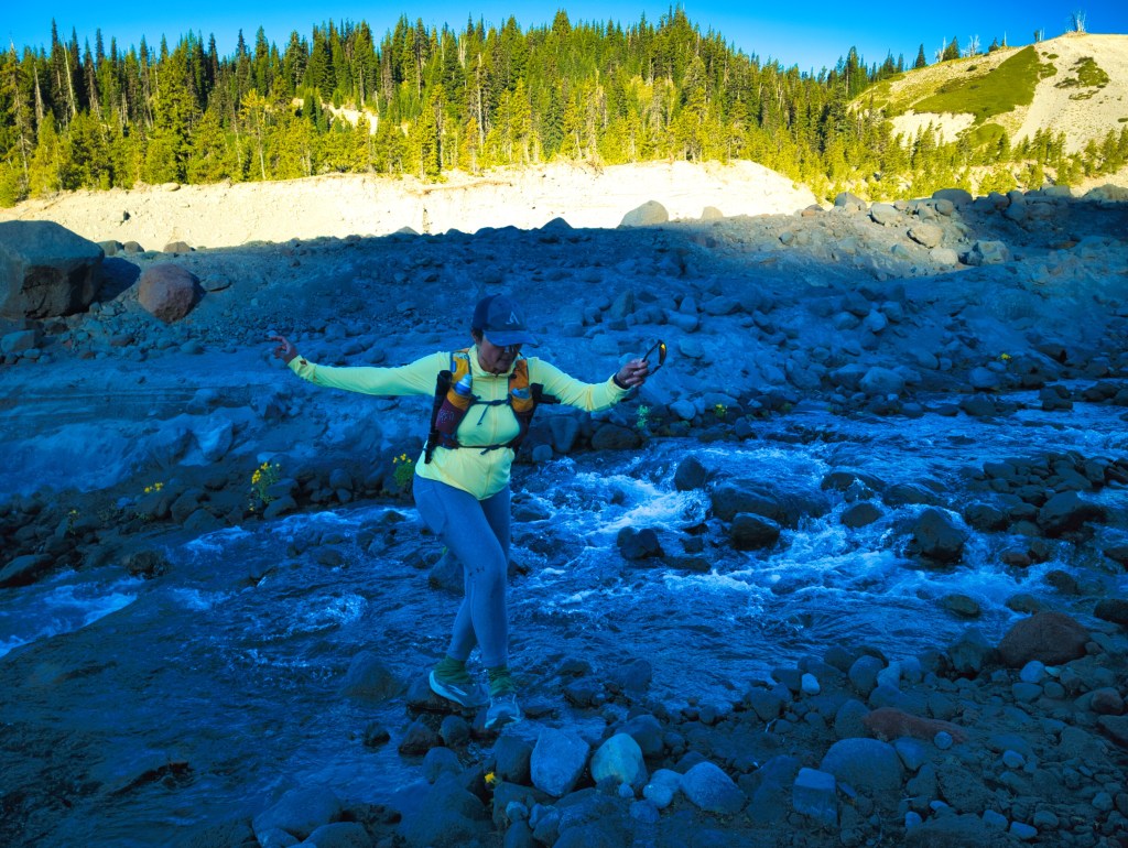
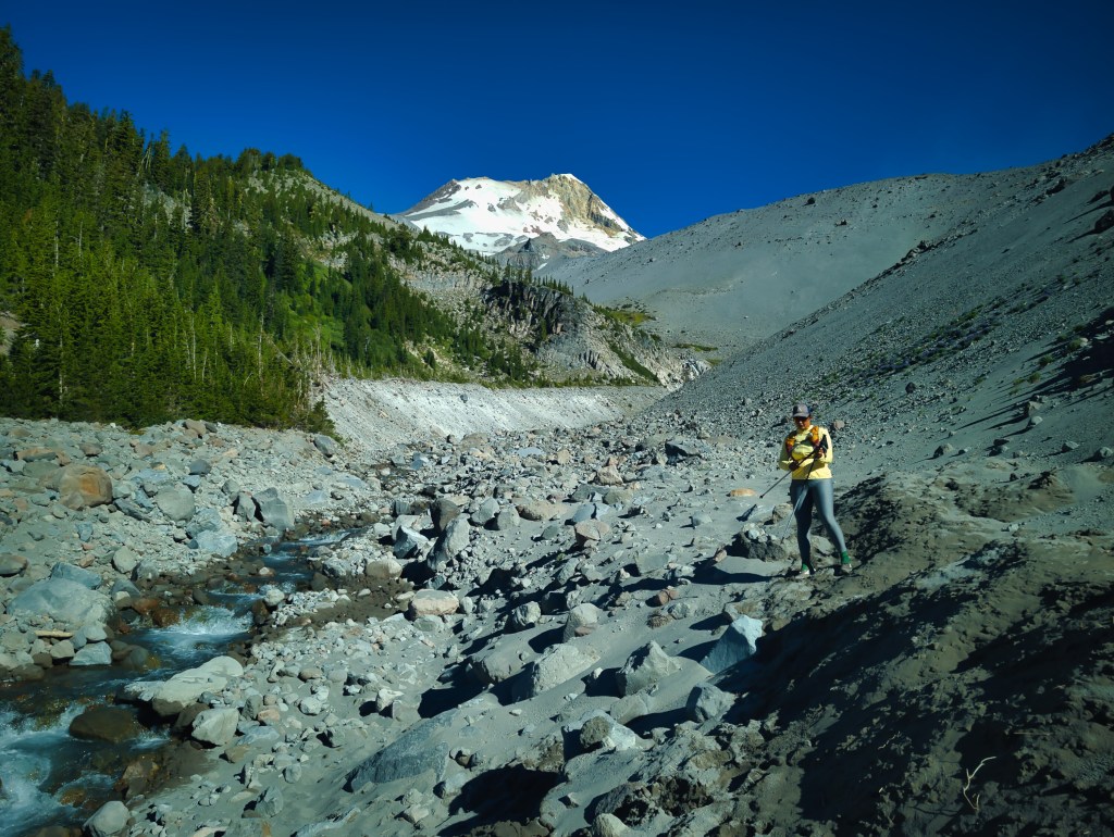
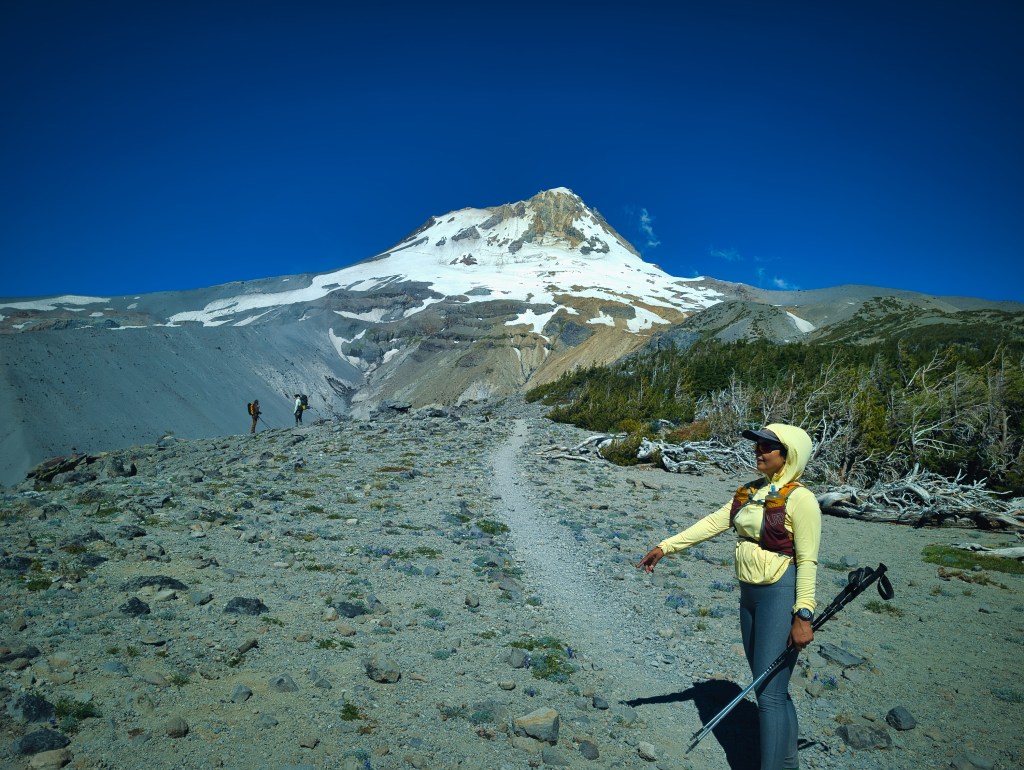
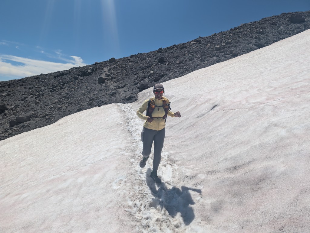
Finally, we started around the mountain. Timberline Lodge to White River and Cooper Spur. The first two miles descent approximately 894 feet, and we covered them quickly. The trail is smooth and sandy here, allowing fast downhill running without the hard impact of rockier terrain. White River has always occupied a memorable place in our previous clockwise loops because it was the final crossing before the climb back to Timberline Lodge. Both times, we reached it near end of dusk. After our earlier loop, I wrote on Strava that the last uphill miles on the sandy trails were “soul-crushing”—made more exciting by the fact that we did not have headlamps. This time, traveling counterclockwise, White River appeared near the beginning of the day, when we still had optimism, functioning quadriceps, and daylight. After the descent, we climbed roughly 833 feet, then ran through open meadows and descended about 400 feet toward Newton Creek. During the cool morning hours, Newton Creek was easy to cross without fording. Then came the first major climb: approximately 1,883 feet over four miles. At the top, we stopped briefly for sunscreen and food before continuing toward Cooper Spur.
Cooper Spur to Eliot Branch
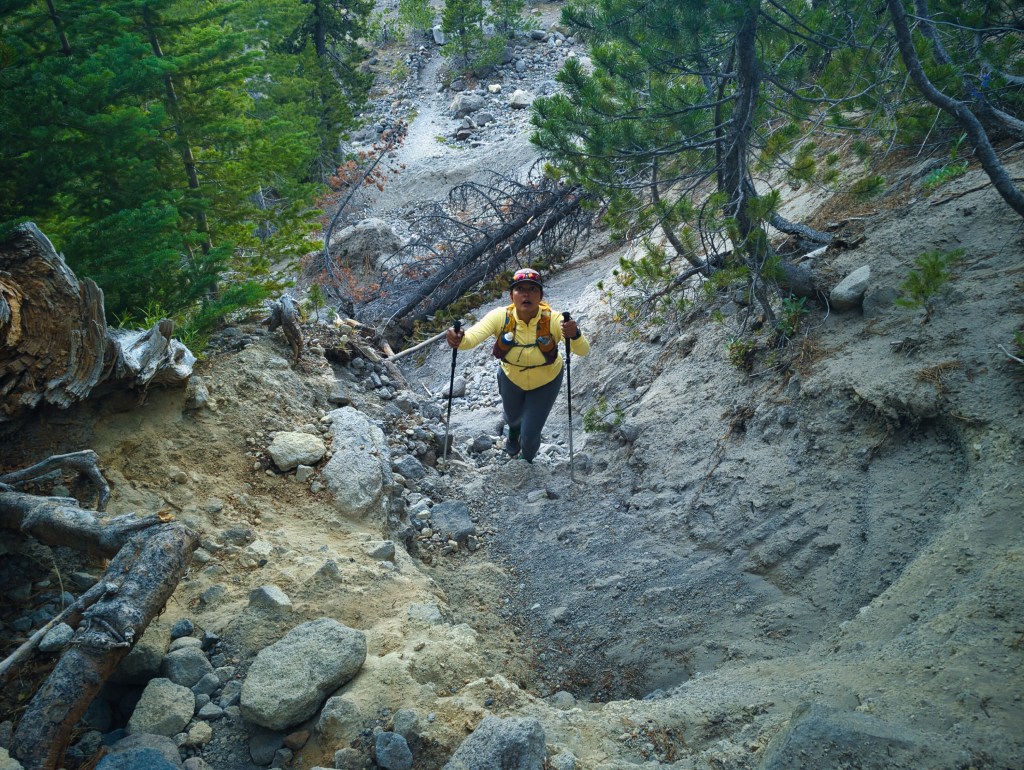
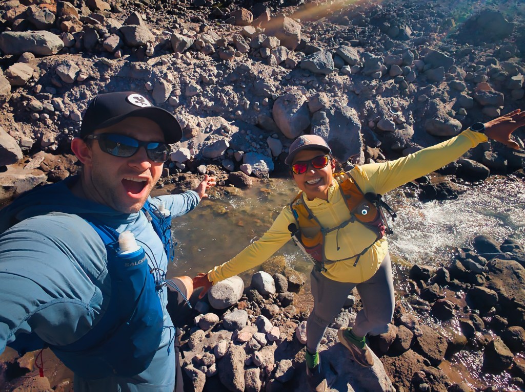
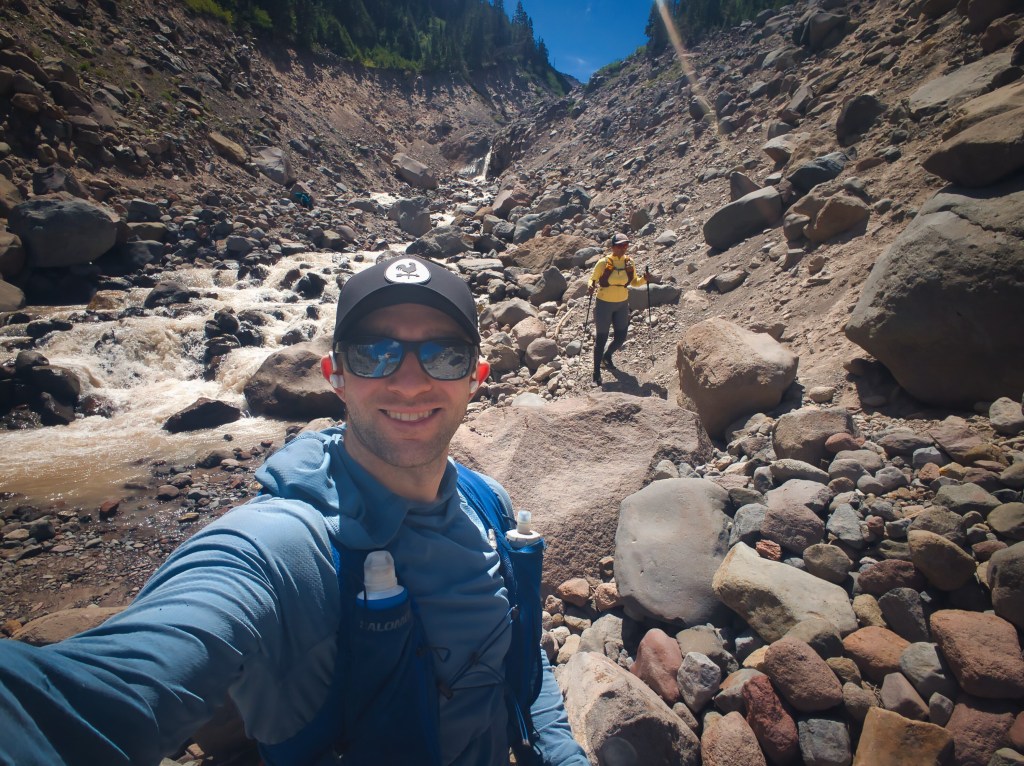
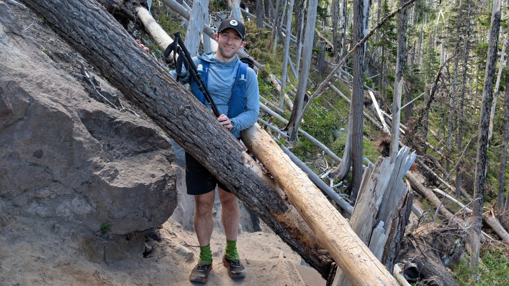
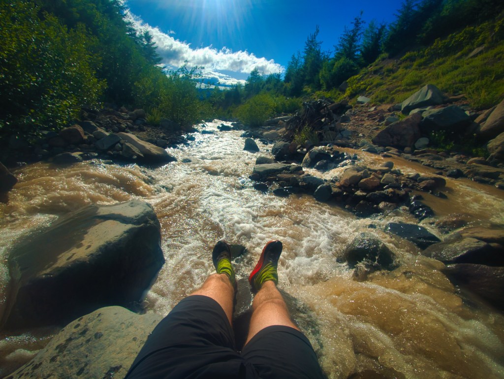
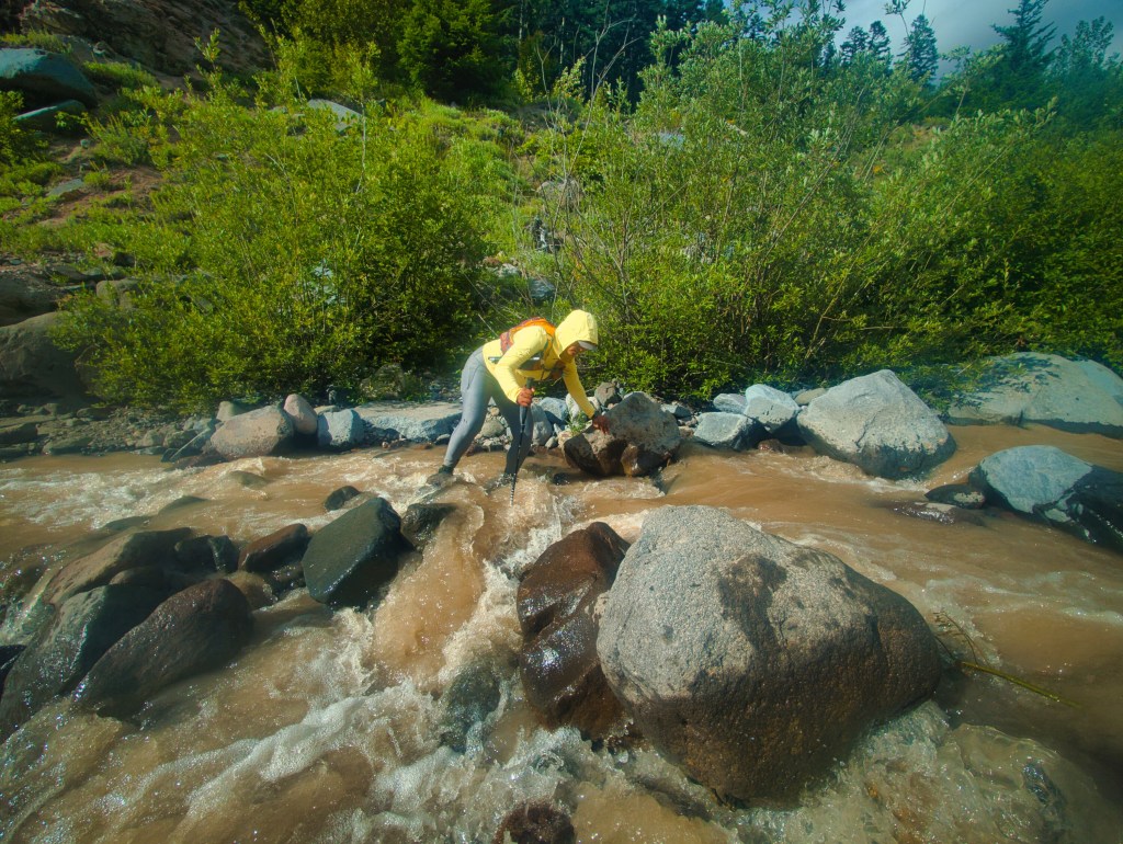
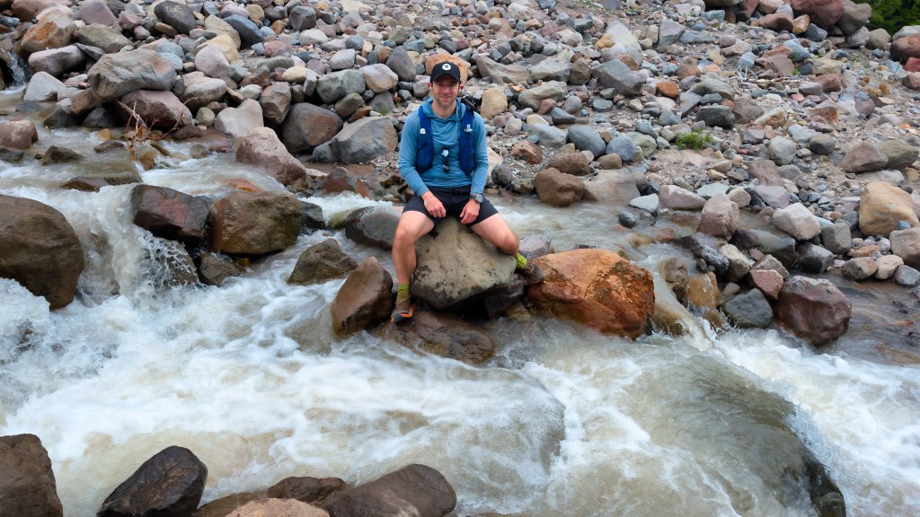
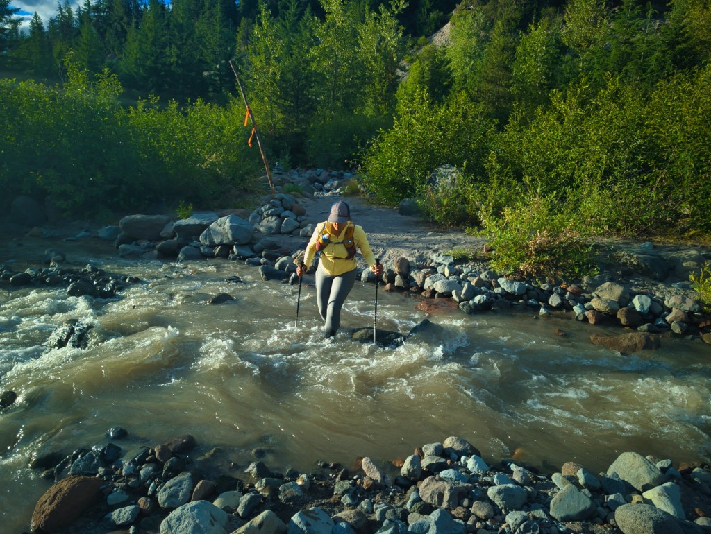
Miles 13 through 16 produced my favorite descent of the counterclockwise route: approximately 1,760 feet down. The upper portion was exposed but relatively smooth and clear. Because we reached it during the cooler part of the morning, I really enjoyed this run and felt like I was flying. Backpackers were cheering me on. After Cloud Cap Campground, the character of the trail changed. Fallen trees became more frequent, the footing grew rougher, and the final portion of the descent toward Eliot Branch was no longer consistently runnable. We reached Eliot Branch at approximately 12:26 p.m. I spoke to a runner traveling clockwise and asked whether he had needed to ford it. He said he had found a way across and had gotten only slightly wet. He also warned that it was the worst crossing between there and Timberline Lodge. Rick initially identified a possible rock-jumping route. But even he considered it high consequence: one missed landing could have turned a trail run into an unscheduled hydrology experiment. We decided to ford. The water was fast and forceful. With my shoes on and trekking poles planted upstream, I worked carefully to find secure footing. Rick stopped partway across and positioned himself where he could catch me if the current knocked me off balance. I was extremely grateful that he was there. This was the most serious ford of the day, and the consequences of a fall would not have been trivial. A solo female backpacker watched us cross and then asked whether we could watch her attempt it. Rick did more than watch: he stepped back into the water and remained directly behind her as she crossed so that he could catch her if she slipped. What a gentleman—although perhaps an excessively wet one by that point.
The north side: miles 17–21
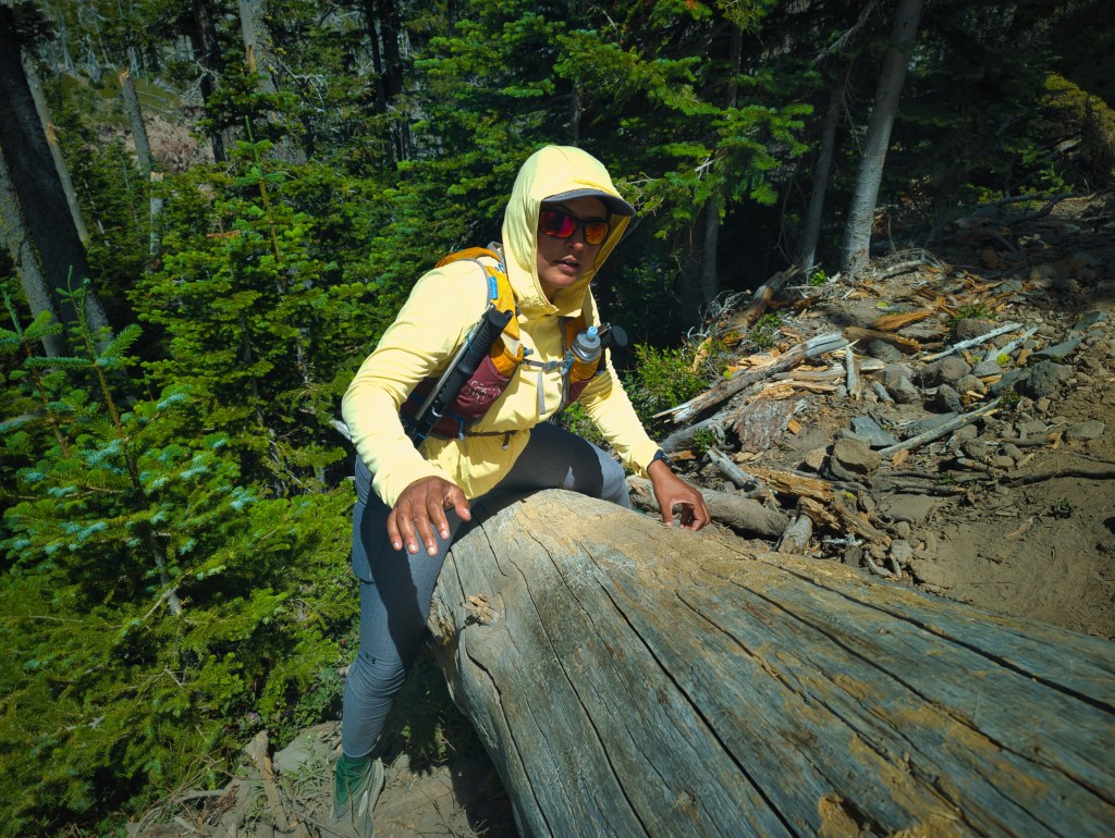
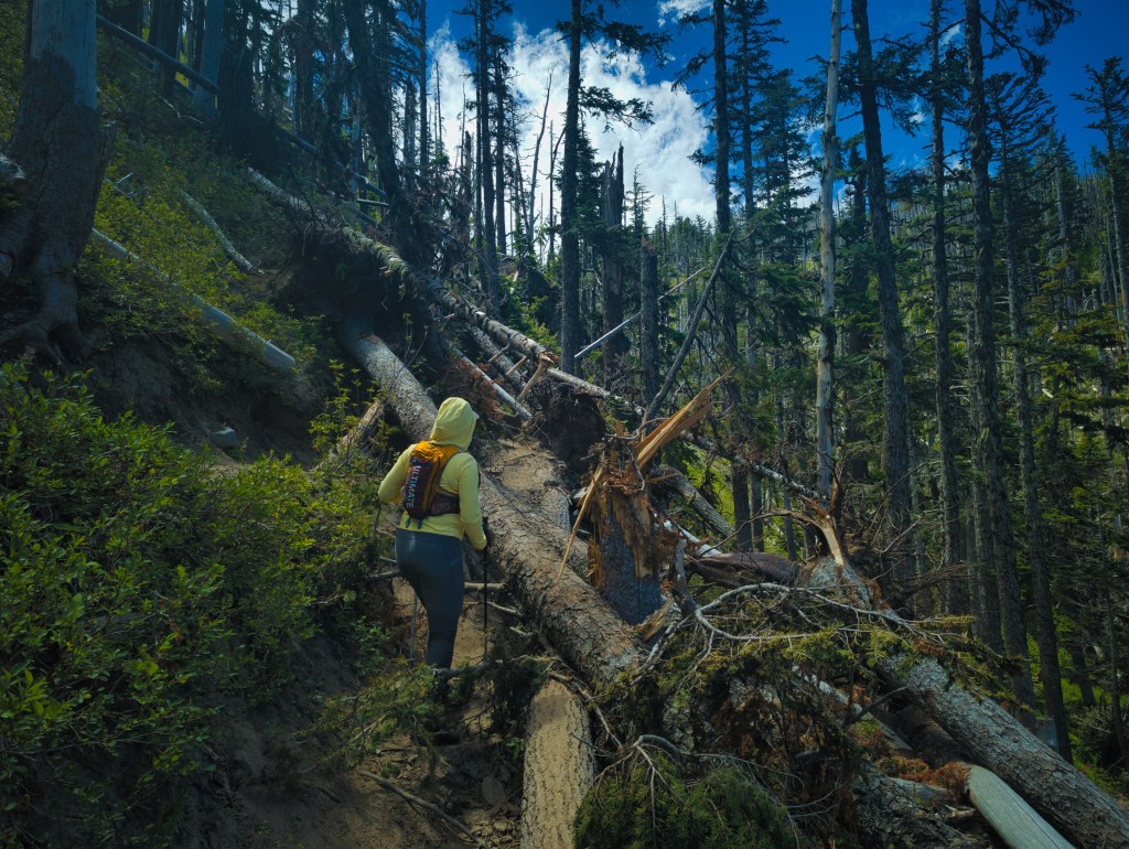
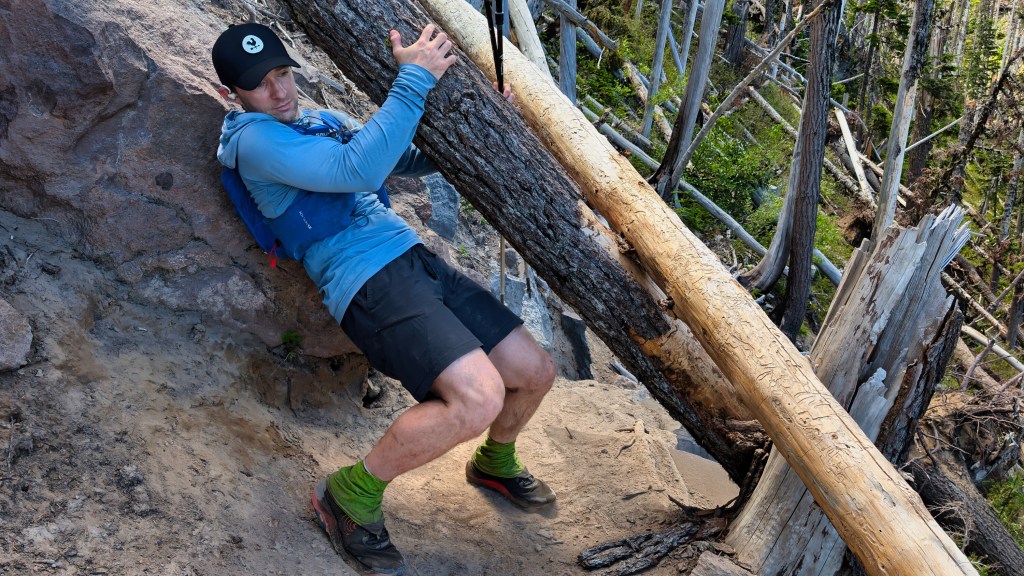
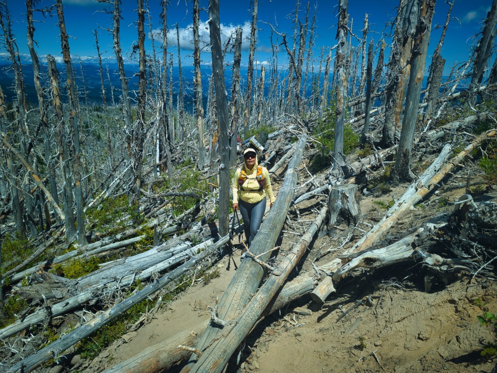
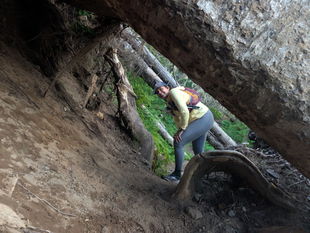
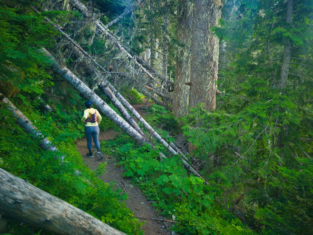
The north side contained an astonishing number of fallen trees. Much of this terrain lies within the area affected by the Dollar Lake Fire (2011, Lightening caused), and the burned forest has continued to suffer damage during winter storms. One recent trip report estimated approximately 240 blowdowns around the loop. A large proportion of the blowdowns are concentrated here and in the area beyond Muddy Fork. After climbing over, under, and around them for several hours, we concluded that 240 was believable. If anything, it may have been a conservative estimate made by someone who eventually became too tired to keep counting. I treated mile 21 as our approximate halfway point. We reached it in about 8 hours 27 minutes, corresponding to an average pace of roughly 24 minutes per mile, including the Eliot crossing and the blowdowns. My Garmin showed approximately 5,500 feet of cumulative elevation gain by then.

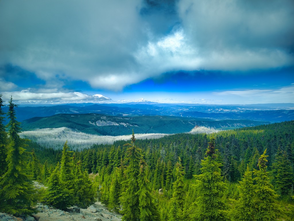
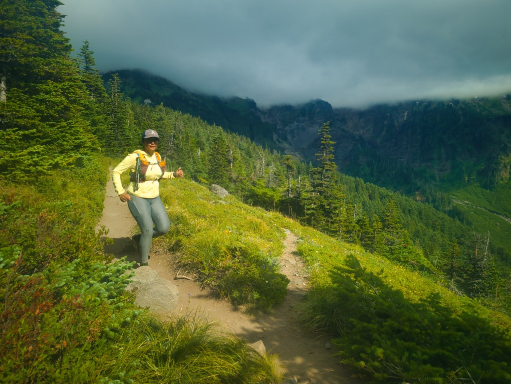
McNeil Point and the northwest meadows
The northwest side near McNeil Point was one of the most beautiful sections of the day. The trail crossed green meadows, clear creeks, and inviting campsites. It was almost peaceful enough to make us forget that we still had half a mountain to travel around. Near the junction of the Timberline and Mazama trails, we encountered a group of more than ten people. One man was standing near the junction, and because I was slightly ahead of Rick—and because trail signs sometimes become unexpectedly philosophical after 25 miles—I asked which direction continued toward Timberline Lodge. He asked where we were trying to go.
“Timberline Lodge,” I said.
He pointed, and I started running.
As Rick passed, the man asked what we were doing.
“We’re running the Timberline Trail in a day.”
“Holy smokes!”
He then asked how long we thought it would take to reach the lodge.
It was approximately 3:15 p.m., we were near mile 25, and more than 3,300 feet of climbing remained in the final portion of the loop. The numbers were clearly trending toward a 17-hour day.
Still, optimism is an important ultrarunning skill.
“Probably 9:30 pm,” I said.
“Six more hours? Are you doing good?”
We smiled, said yes, and ran away before he could perform any additional arithmetic.
During this loop, we saw more backpackers than we had in either 2019 or 2021. We also passed two pairs of male runners and one solo male runner traveling clockwise.
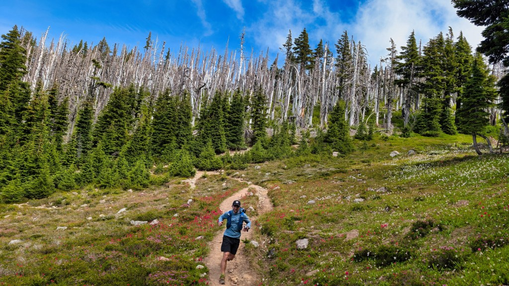
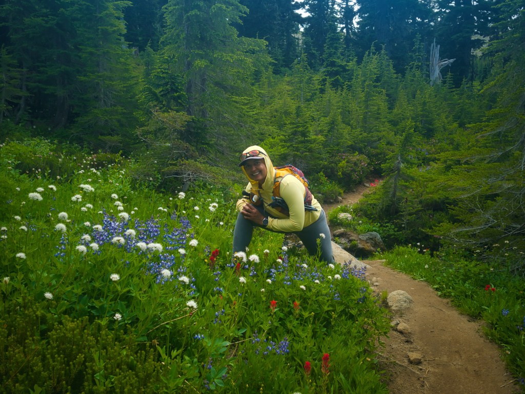
Muddy Fork to Ramona Falls
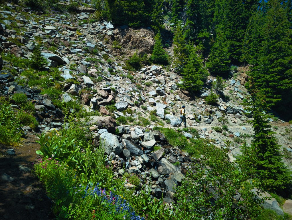
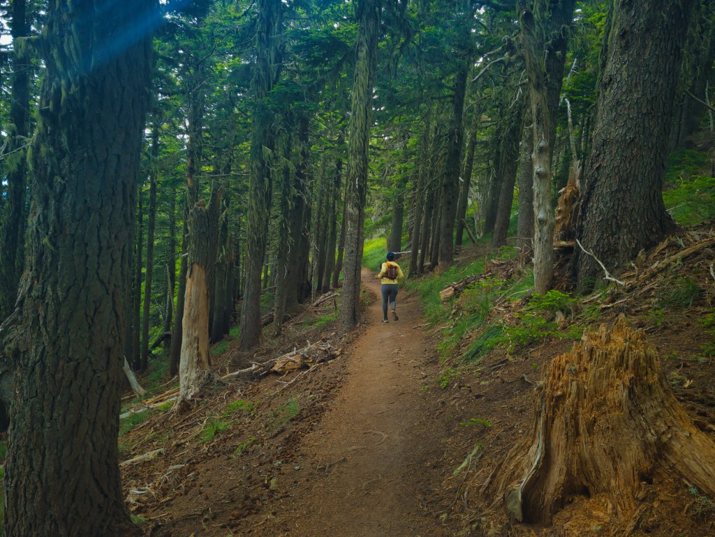
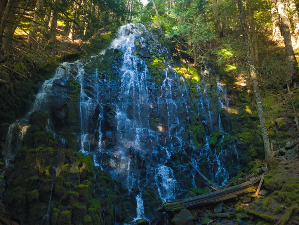
We also had to ford Muddy Fork. Beyond the river, the trail became heavily overgrown. Miles 30, 31, and part of mile 32 contained some of the worst terrain of the entire loop. The vegetation itself was inconvenient, but the greater problem was erosion. In places, the trail traversed steep slopes with serious exposure. Fallen trees lay across narrow, crumbling sections where a mistake could have significant consequences. These were genuine no-fall zones, and neither of us enjoyed moving through them. Fortunately, the remainder of mile 32 and mile 33 improved dramatically. The trail became well maintained again and eventually delivered us to Ramona Falls. After Ramona Falls, we forded the Sandy River and began another major climb: approximately 2,231 feet over four miles. We reached Ramona Falls at about 7:19 p.m., with roughly two hours of daylight remaining, so we tried to maintain a strong pace.
At least, it felt like a strong pace.
The splits later revealed that miles 34–37 averaged approximately 30:56 per mile. Apparently, there is a difference between moving with urgency and moving quickly. The body does not always consult the brain before selecting one.
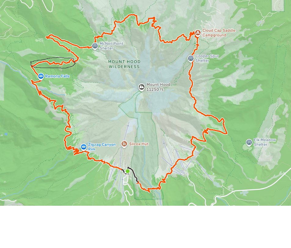
The black ellipse marked in the map has overgrown vegetation and some trail erosion which are absolutely no fall zone.
Ramona Falls
Into the dark
Near mile 38, we crossed Lost Creek in the remaining dusk. I had to ford that crossing as well. Afterward came approximately 428 feet of descent. By then, darkness had arrived. We had only one headlamp per person, and at medium brightness I could not see every root, rock, and obstacle clearly enough to run safely. So I walked downhill as quickly as possible for the next two miles. Miles 41 through 43 contained our final major climb: approximately 1,061 feet in the dark. By then, I was tired and ready for the loop to end. But in the dark, while hiking the final 1,061 feet back toward Timberline Lodge, I also realized how much my endurance had changed during this second chapter of running. These days, I rarely feel significant soreness before mile 25 on a mountainous route. On the 50-mile Three Sisters Loop, with 8,200 feet of egain, I still felt strong at mile 40; only in the final ten miles, I had to dig deep into my mental reserves. On Timberline, that moment came much later—during the hike of final 1061 feet. That contrast made one thing clear: my endurance baseline is far stronger than it used to be.
I credit that improvement to three years of serious strength training, increasing my protein intake after adding chicken to my diet following 27 years as a vegetarian, and managing long efforts with far more discipline. I stayed hydrated throughout the run and paid close attention to salt and electrolyte intake instead of waiting for fatigue or cramping to indicate the lack of salt and electrolytes. Over the full day, we each consumed 600 mg of caffeine, and I took 6 g of salt. For context, 6 g of ordinary table salt contains roughly 2.4 g of sodium, although the exact sodium intake depends on the supplement labels. These amounts describe what I consumed during this particular 17-hour effort, not a general recommendation.
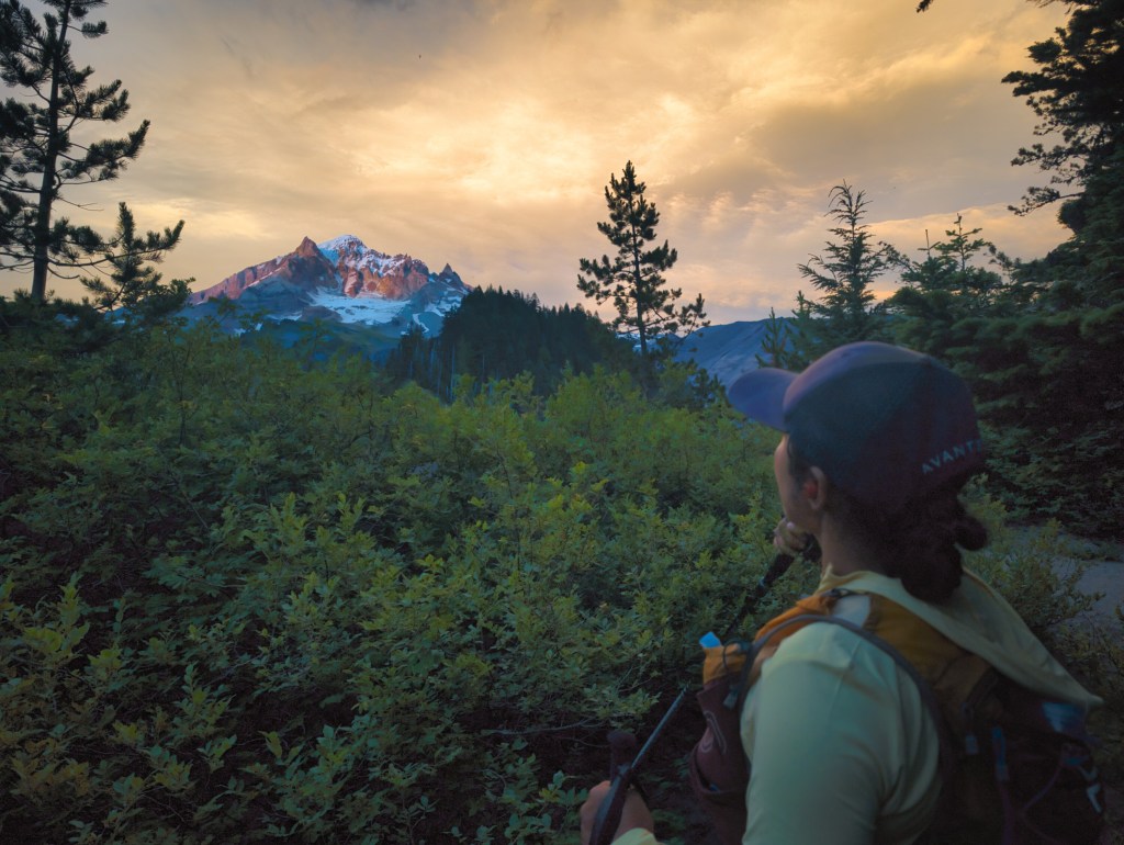
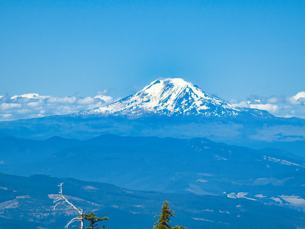
Looking at the west face of Mt. Hood somewhere around mile 39 or so. The right side peak is illumination rock. We could see Reid Glacier headwall which we had climbed in 2018 and Leuthold couloir.
Back to Timberline Lodge
We returned to the lodge at 12:22 a.m., completing the loop in 17 hours 49 minutes. Our average pace was approximately 24:41 per mile. Considering the river fords, hundreds of blowdowns, exposed trail, sock-emptying stops and relatively slower pace after dark that average pace felt decent from my perspective. The parking area was windy and freezing. We were too cold to change clothes there, so we drove down to the Dairy Queen parking lot in Rhododendron before finally changing. On the drive home, I was repeatedly dozing off but trying to keep my eyes open and continue the conversation as a supportive partner. Rick safely drove us home despite having just spent nearly 18 hours traveling around a volcano. We showered, removed what appeared to be several geological layers of dried salt from our skin, and finally went to bed at 3:30 a.m.—exactly 24 hours after we had awakened. A full day. A complete loop. Four major fords, approximately 240 blowdowns, one headlamp, and enough optimism to predict a 9:30 p.m. finish.
What an adventure.
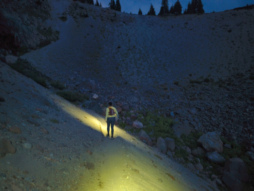
Just two miles before finish. This pic is taken in complete darkness but our phone cameras are outstanding 🙂


nice write-up! Gonna attempt this tomorrow. Thank you!
LikeLike
Thank you, enjoy your trip 🙂
LikeLike