Sandy:
Water rushed somewhere below us, beside us, and occasionally seemed to laugh directly at us. Yet between the two of us, we had only a quarter liter left. Darkness was approaching. Three Lakes was still far above us. The trail continued climbing.
Logistics
| Item | Value |
|---|---|
| Route name | Mt. Rainier Summerland-Chinook Pass Loop |
| Dates | July 24-25, 2026 |
| Start | July 24, 2026 at 8:54 a.m. |
| Finish | July 25, 2026 at 6:40 p.m. |
| Distance | 59.05 miles |
| Elevation gain | 15,280 feet as per Garmin Fenix 7 recording |
| Direction | Counterclockwise |
| Start and finish campground | White River Campground |
| Style | Two-day unsupported fastpack |
| Caltopo Link of the route | https://caltopo.com/m/TP1013K |
| Elapsed time on trail (does not include camp time) | 25 hours 13 minutes |
| Total trip duration (includes overnight camp time) | 33 hours 46 minutes |
| Average elapsed pace | 25:37 minutes/mile |
| Day 1 pack weight | Sandy: 10 lbs, Rick: 12 lbs |
| Day 2 pack weight | Sandy: 8 lbs, Rick: 12 lbs |
| Calories packed per person per day | 3000. We had left overs so 2500 calories/person/day is ideal. |
| Trail conditions (discussed only rough ones) | Cowlitz Divide trail, Eastside trail, last mile on Laughingwater creek trail before Three Lakes and last couple of miles before Owyhigh Lakes when approached from Eastside trail |
| Other gear | Fastpacking packs, tent, sleeping pads and pillows, trekking poles, headlamps, water filters, soft flasks, sun-protective clothing, and sunscreen |
| Previous related completion | Wonderland Trail Unsupported Fastpacking in Three Days in 2021 |
We had been adventure running nearly every weekend since May 2026. Below are some documented adventures.
| Date | Trip | Distance (miles) | Elevation Gain (ft) | Car-to-Car Time |
| June 7, 2026 | Three Fingered Jack Loop | 22.23 | 3104 | 8 hrs (snow sections and lots of blowdowns took time) |
| June 13, 2026 | Loowit Trail | 32.51 | 7464 | 15 hrs 8 mins |
| June 26, 2026 | Three Sisters Loop | 50.31 | 8028 | 17 hrs 26 mins |
| July 4, 2026 | North Side of the Wonderland Trail | 31.4 | 9800 | 17 hours with overnight camp |
| July 11, 2026 | Timberline Trail | 43.3 | 10,105 | 17 hours 49 minutes |
| July 18, 2026 | Mazama Bowtie with McNeil Point (Mt. Hood) | 15.46 | 4852 | 7 hrs 38 mins |
The Mount Rainier Eastside Double Loop was not an isolated undertaking. It came at the end of nearly two months of weekend adventure running through increasingly long and demanding terrain. Since early June, we had completed the Three Fingered Jack Loop, Loowit Trail, Three Sisters Loop, the north side of the Wonderland Trail, Timberline Trail, and finally the shorter Mazama Bowtie with McNeil Point. After the Mazama Bowtie on July 18, I turned my attention almost completely to PhD dissertation revisions. I was writing the conclusion and summary chapter, refining the chapter that will become my next journal paper, and continuing my full-time work as a principal engineer at Ampere Computing. Rick therefore handled the route research, created the CalTopo GPX track, secured the Three Lakes permit, and organized the equipment and packing for our Mount Rainier fastpack.
He told me that the route would be approximately 53 miles with 13,000 feet of elevation gain. We have learned that CalTopo mileage is mostly an underestimation by 3-5 miles. I expected perhaps 56 miles and somewhat more than 13,000 feet. The actual route came to just under 60 miles with approximately 15,280 feet of elevation gain. Apparently, six mountain miles and 2,000 vertical feet were hiding in the fine print.
Rick could obtain a campsite at Three Lakes only for Friday night, so we shifted the trip from Saturday–Sunday to Friday–Saturday. The number of campsites there is limited, and the permit determined our schedule. We left Portland at 7:00 p.m. on Thursday, July 23, and reached a Forest Service road outside Mount Rainier National Park at approximately 10:00 p.m. Because the night was hot, we slept in the car with the windows down. Passing vehicles then ensured that we received plenty of fresh air and very little actual sleep. At 5:00 a.m., we drove to the ranger station, packed our gear, made coffee, ate breakfast, used the restroom, and waited in line for the permit.
At 8:54 a.m., we finally started the adventure.
Day 1: White River to Three Lakes via Summerland and Indian Bar
White River Campground to Summerland
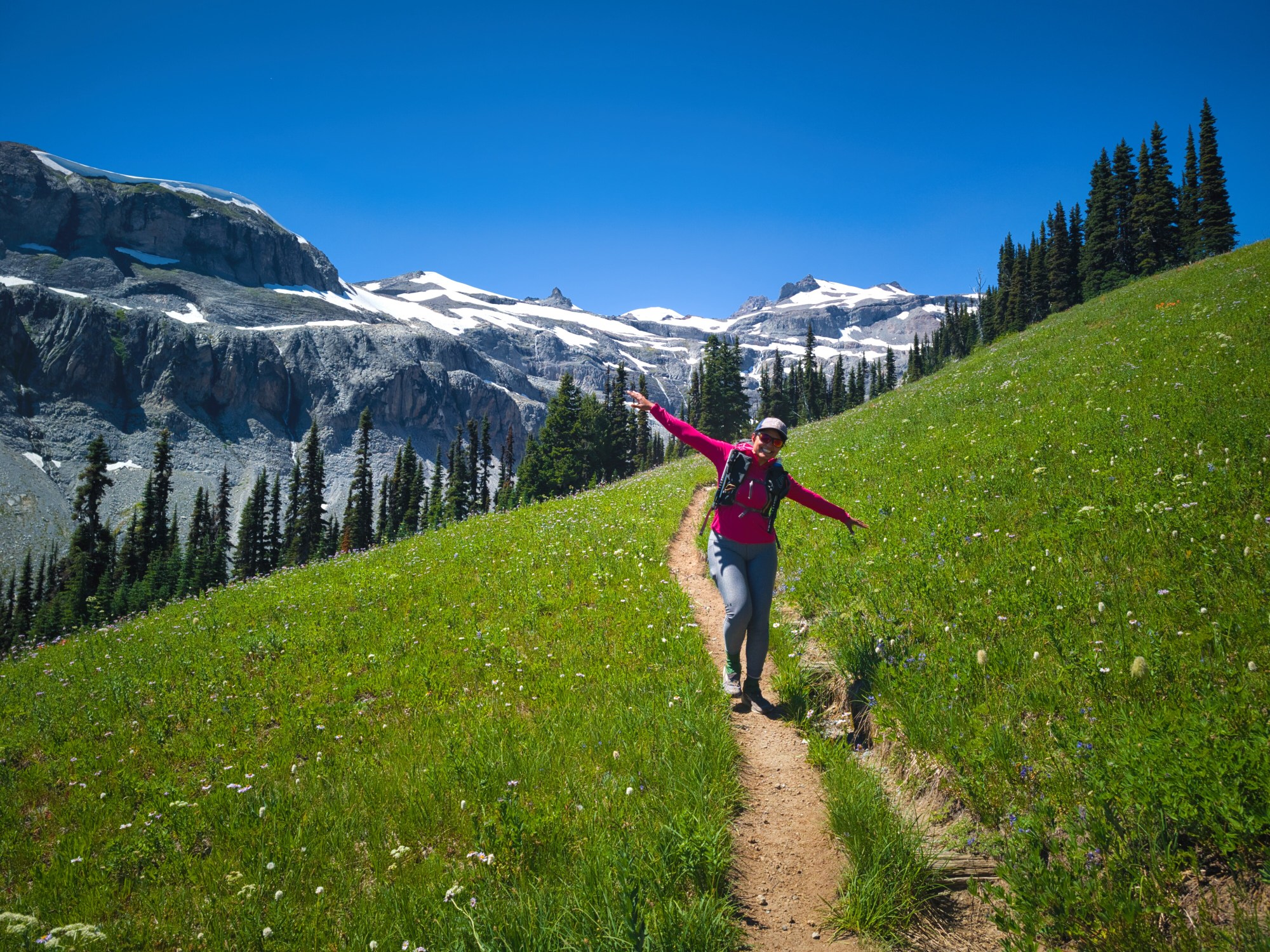
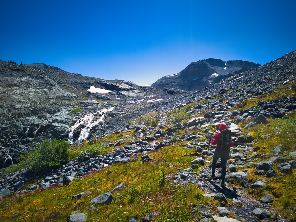
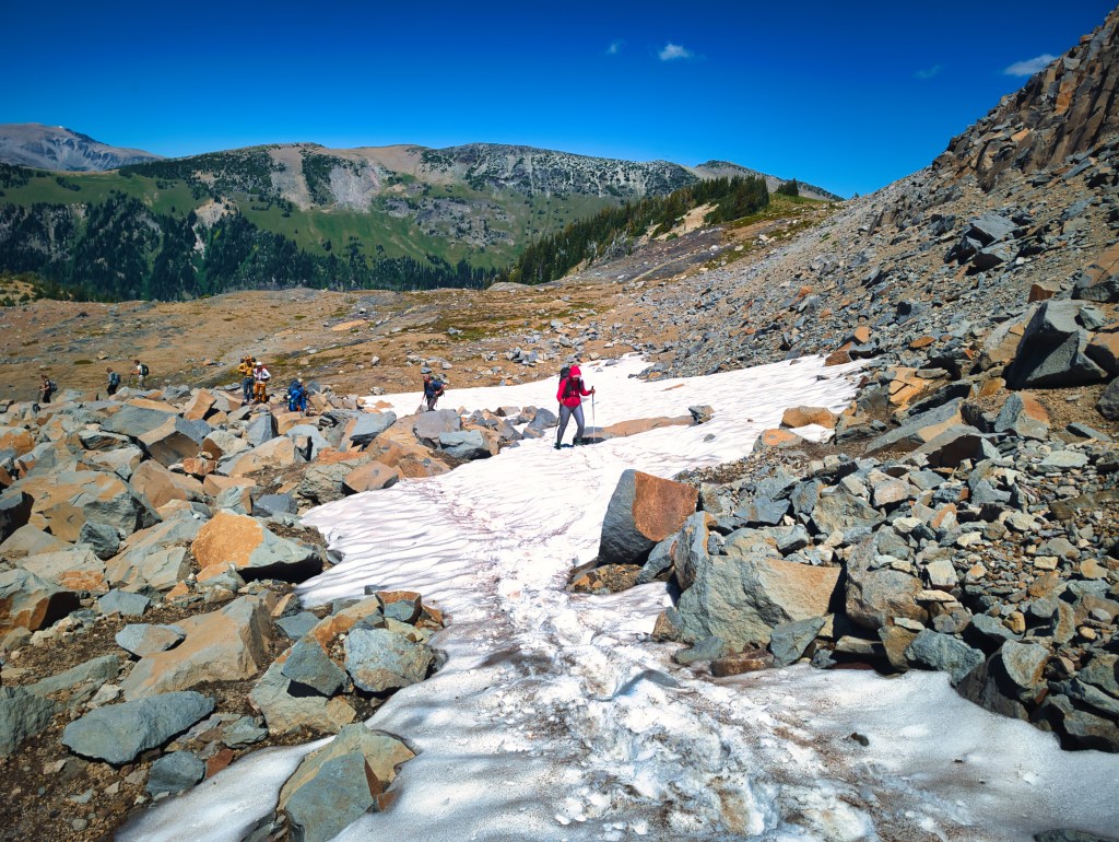
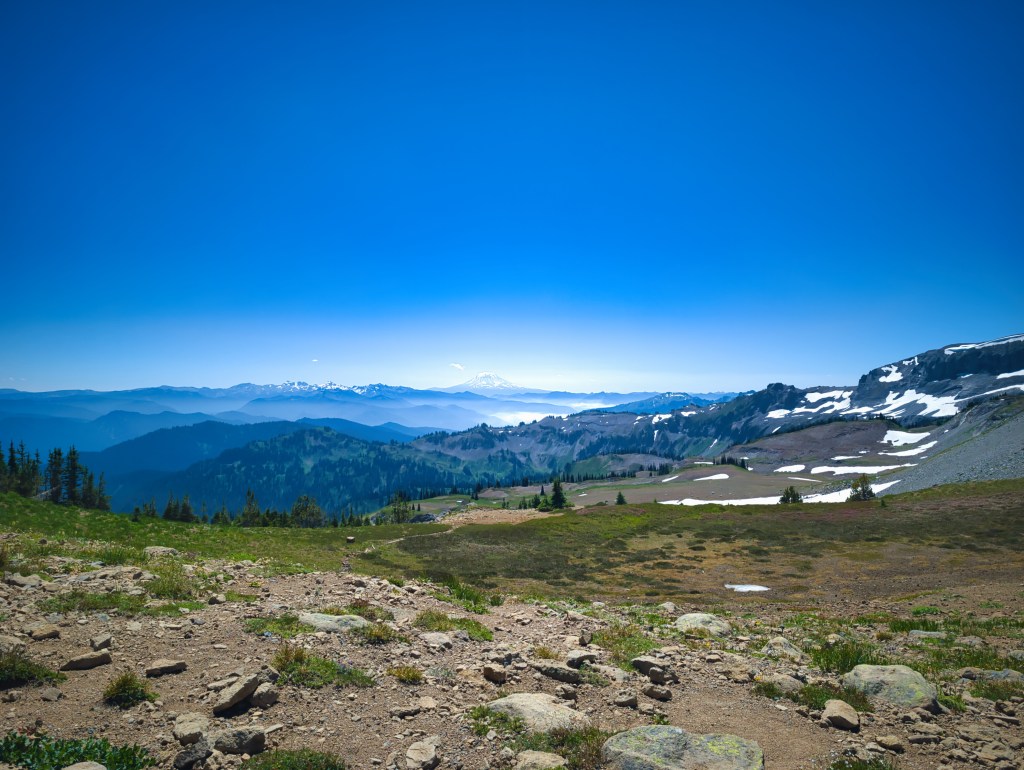
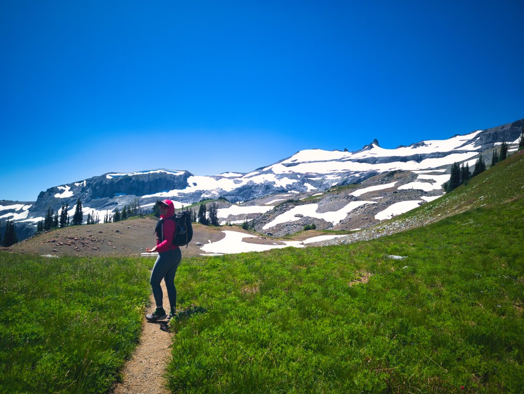
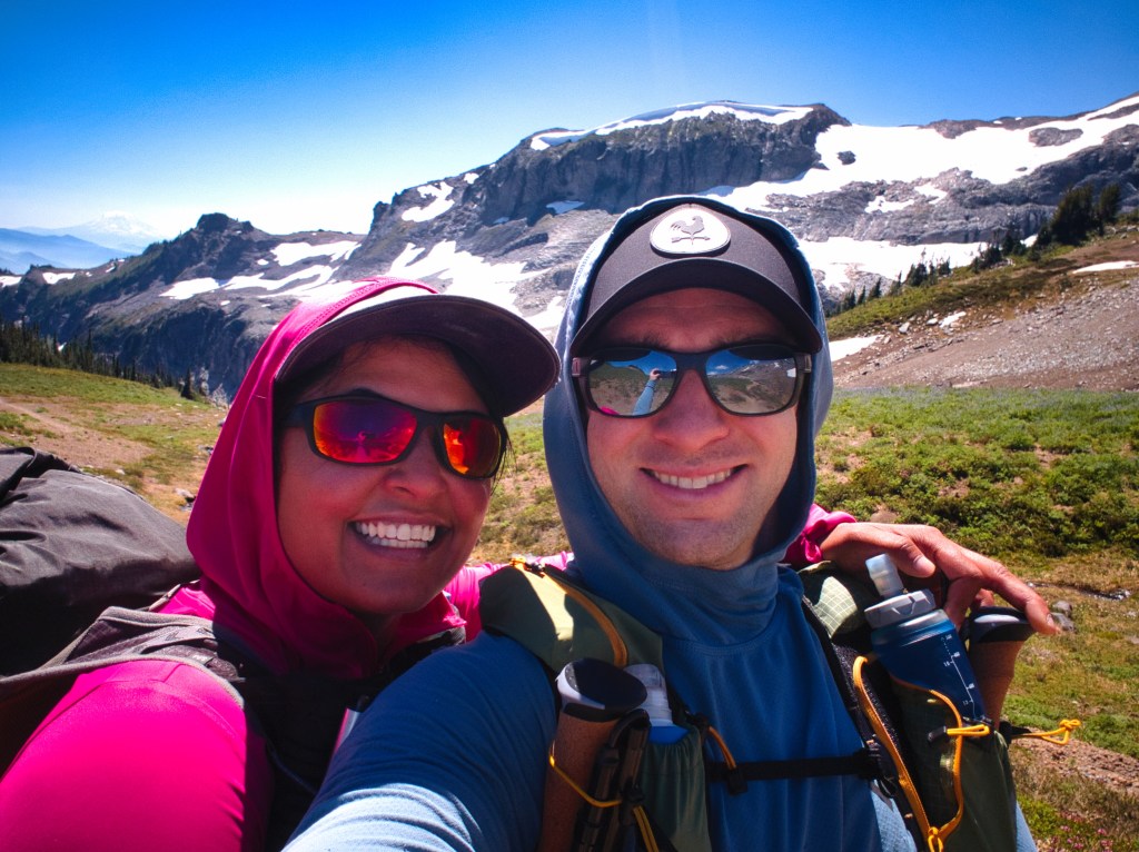
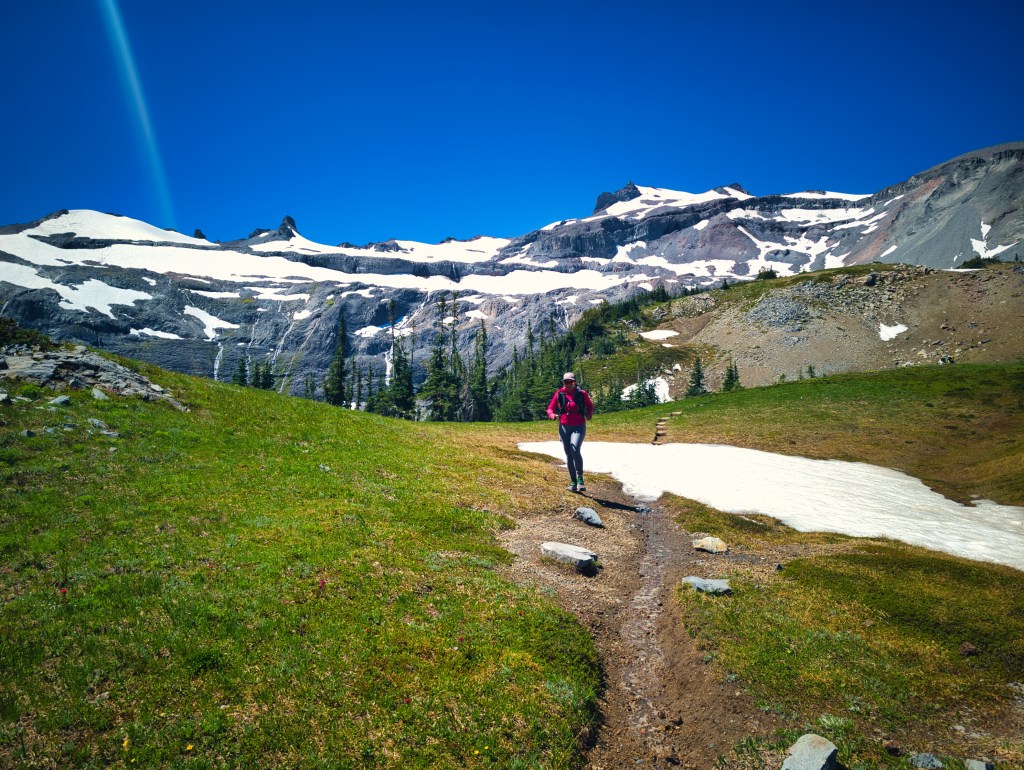
We crossed the White River and enjoyed relatively flat or downhill running for approximately four miles. Then the trail climbed roughly 2,668 feet between miles four and eight. From miles eight through ten, we crossed rolling alpine terrain with a few remaining snow patches. Around us were wildflowers, waterfalls, creeks, Mount Adams, and the broad alpine landscape of Summerland.
July 24 was hot. My Baleaf long-sleeved sun shirt and Under Armour HeatGear leggings, both theoretically intended to help me cope with summer conditions, had apparently decided to cook me from opposite directions. I learned that the sun clothing do not work in highly humid environments. July 24 was a hot and humid day on Mt. Rainier. Even with fresh legs, the temperature was wearing me down.
Still, reaching Summerland this time felt entirely different from reaching it during our three-day Wonderland Trail trip in 2021. During that trip, I arrived after approximately 70 miles, and my brain was registering every additional inch. This time, I could actually appreciate the scenery. Fresh legs improve alpine views considerably.

Summerland to Panhandle Gap
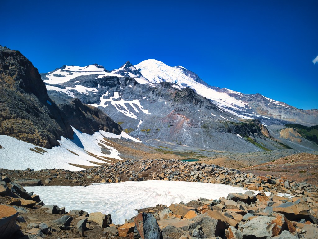
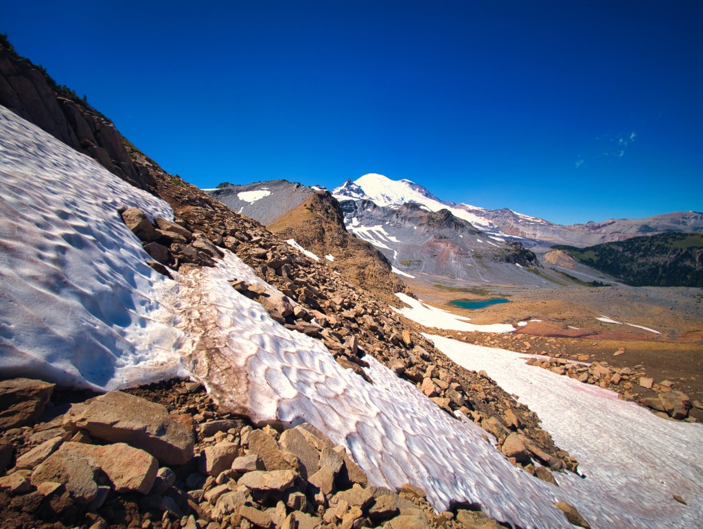
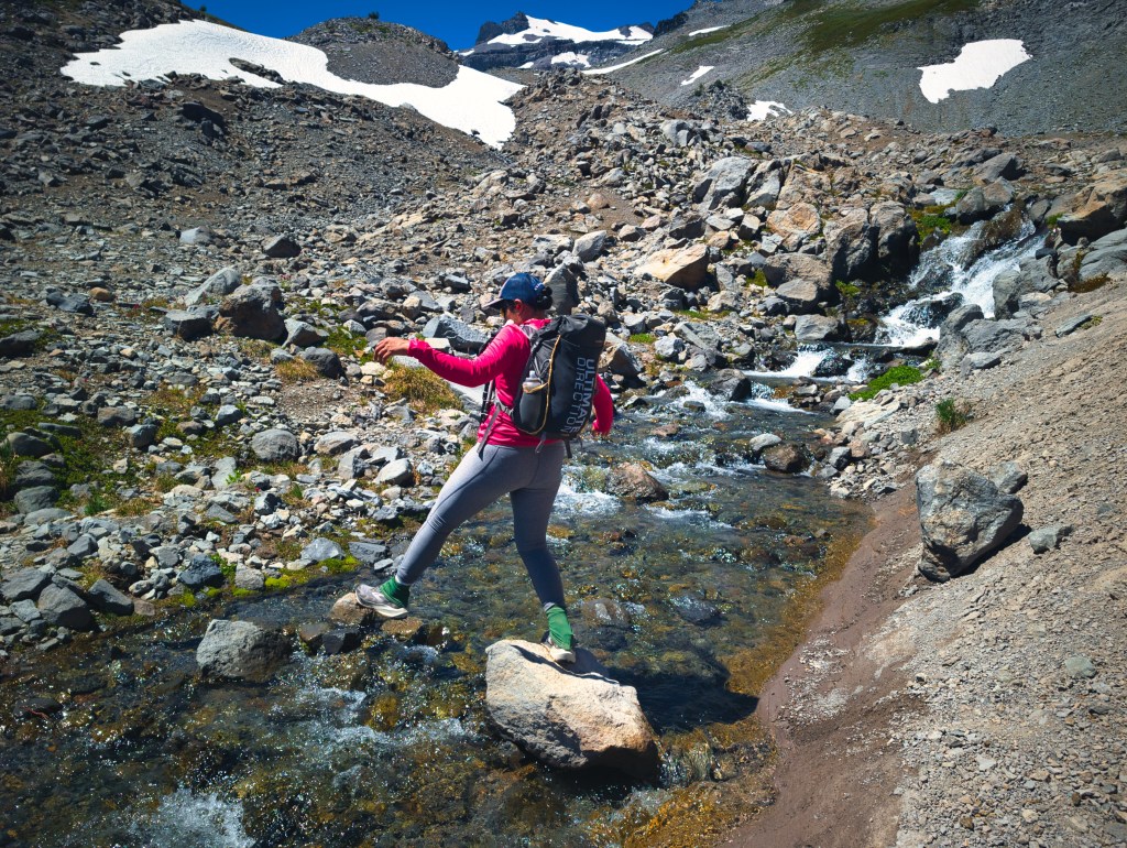
We continued upward through open alpine country toward Panhandle Gap. The trail crossed lingering snow before reaching the high point and beginning the long descent toward Indian Bar. Then came the infamous staircase. Between approximately miles 9.7 and 11.4, the trail drops over a sequence of large steps. It is not a section that most Wonderland runners and hikers eagerly anticipate.
Rick used it as an opportunity to teach me how he descends technical trail. He was testing his pace at approximately 12 minutes per mile by reducing his stride until his feet remained directly beneath him. The short steps allowed him to stay balanced and gave him more time to respond to rocks, roots, and changes in the trail. I looked at the uneven large step staircase.
“If we run this quickly, aren’t we putting enormous force on our knees and hamstrings?”
He explained that my current pattern—running with brakes—might create more impact than maintaining a light, continuous rhythm.
According to him, it should feel like controlled falling.
I understood “controlled.”
I understood “falling.”
I remained uncertain about combining them while wearing a 10-pound pack on uneven large step staircase.
Nevertheless, technical downhill running is probably my clearest opportunity for improvement. This winter, I need to practice moving continuously over rough terrain until controlled falling feels more like a skill and less like an insurance claim.
Panhandle Gap to Indian Bar
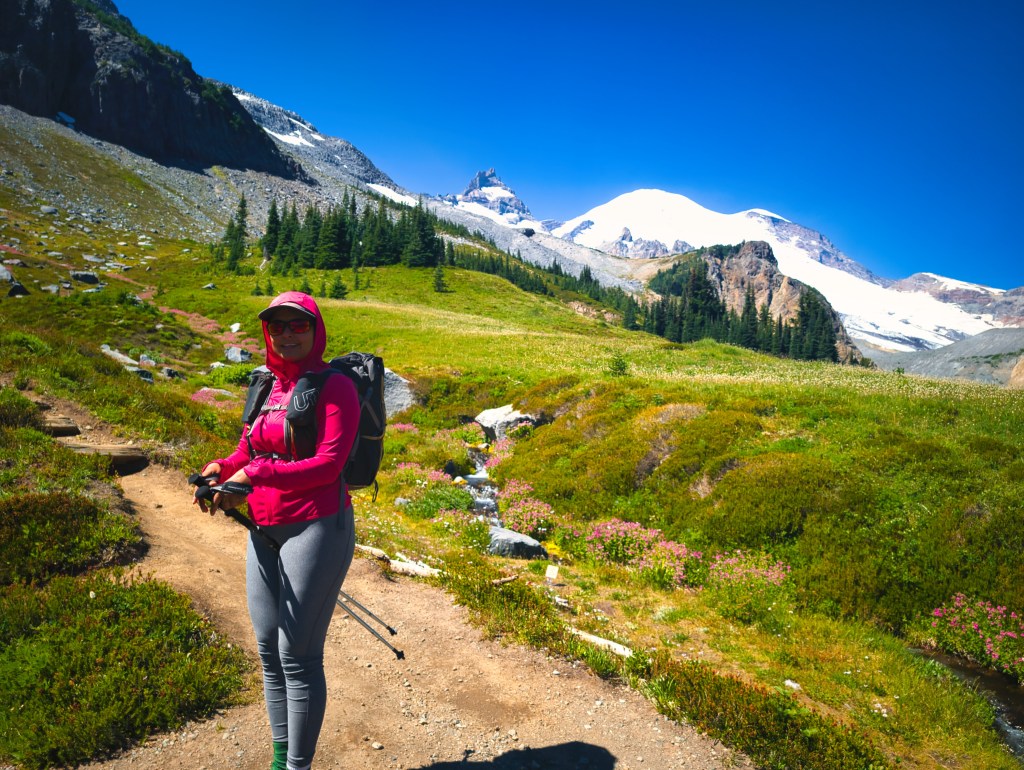
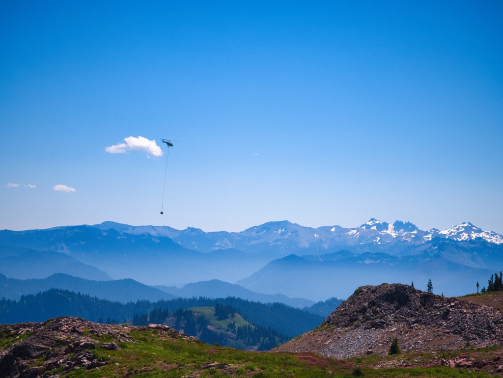
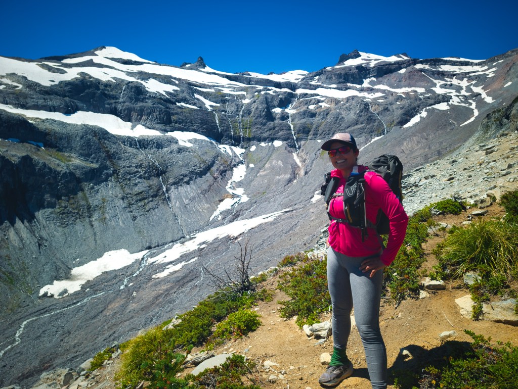
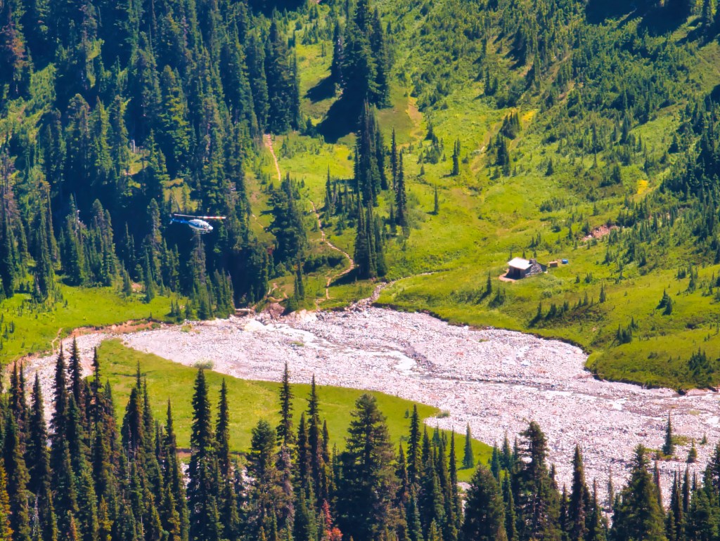
We descended through dramatic alpine terrain toward Indian Bar. Near the shelter, we saw helicopters and trail workers moving rocks for maintenance. Maintaining a trail such as the Wonderland is an enormous and never-ending undertaking. Bridges wash away, rivers move, slopes collapse, trees fall, and snow damages sections every winter. The rangers, trail crews, volunteers, and other workers make these places accessible to the rest of us. Their work is especially visible during years when glacial melt causes rivers to rise and bridges disappear.
The Wonderland Trail was still missing three bridges during our July 4th weekend trip on the North side of Mt. Rainier after having them all wash out during the spring season. Looking at the force of the rivers, it was easy to understand why.
Indian Bar and the climb onto Cowlitz Divide
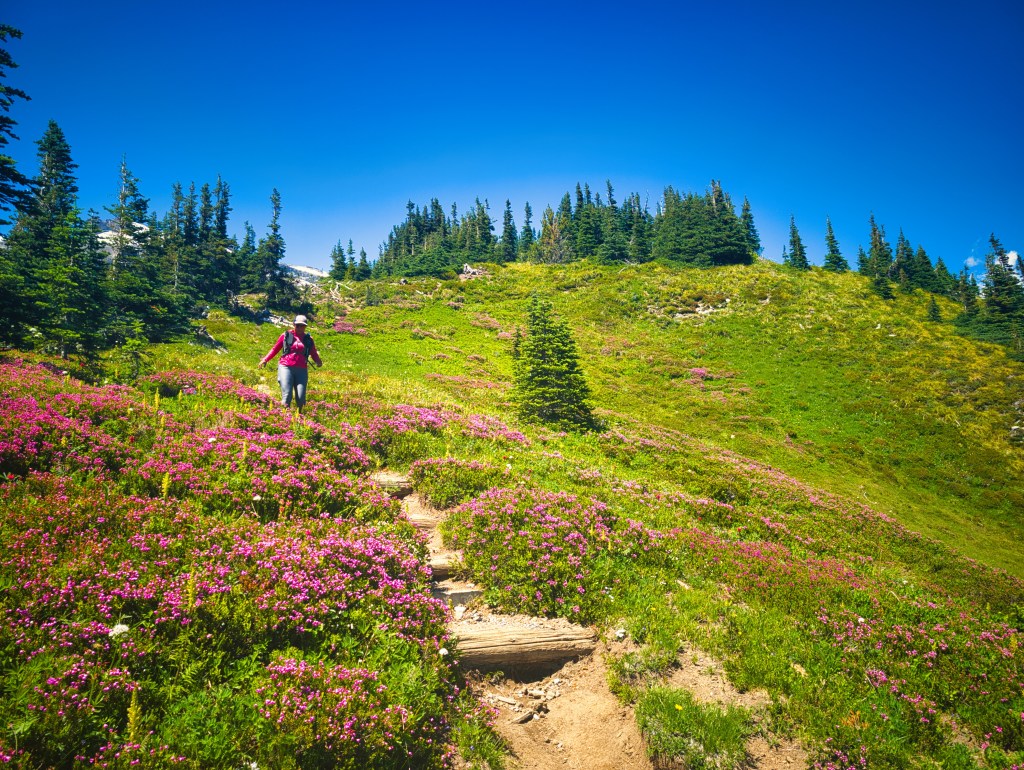
After Indian Bar, we climbed less than 800 feet before reaching one of my favorite runnable descents on the Wonderland Trail. From approximately miles 13 through 16, the trail was soft, smooth, and enjoyable. I remembered loving this section in 2021, and I loved it again.
The complication was water. This section contains no dependable source before Nickel Creek Camp.
Eventually, we reached a junction. Continuing on the Wonderland Trail would lead toward Nickel Creek. Turning left placed us on Cowlitz Divide Trail, which we needed for our route.
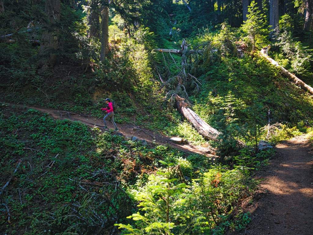
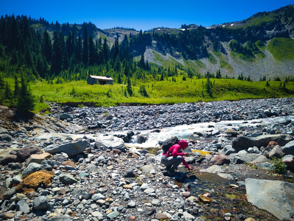
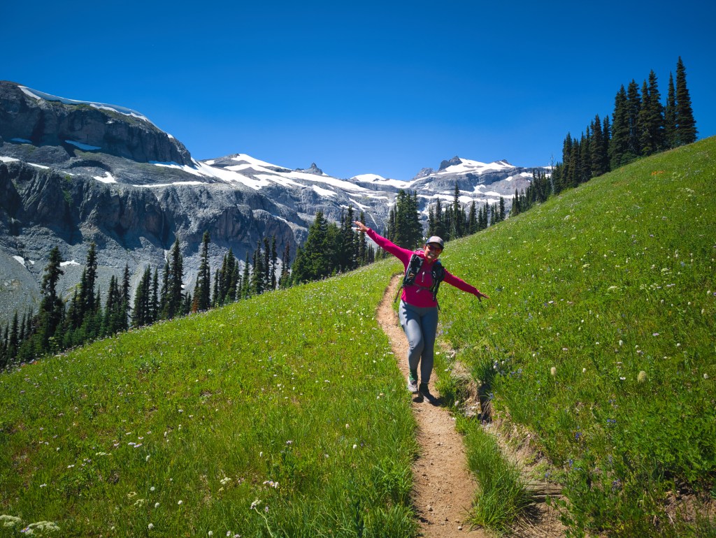
Cowlitz Divide descended for approximately five miles over large steps, exposed roots, rocks, and other obstacles. There were several blowdowns, although nothing approaching the hundreds we encountered on Timberline. Our average pace from miles 15 through 20 was 21:22 per mile. That was similar to our pace on Timberline’s technical descents but approximately three minutes per mile slower than our descents on the smoother Three Sisters Loop.
The comparison reinforced an important distinction: I am not universally slow on downhill. On smooth, flowing trail, I can move well. My speed deteriorates when the descent becomes rocky, root-covered, eroded, or interrupted by large steps. May be its more of protective fear than lack of ability? Fortunately, the Pacific Northwest appears committed to providing unlimited opportunities to correct this weakness.
Cowlitz Divide to Stevens Canyon Road
Smoke became increasingly visible as we descended toward Stevens Canyon Road.
From the high point beyond Indian Bar, I could see that the smoke appeared denser in the western valleys, while the higher terrain looked somewhat clearer. Even so, by the time we reached the road, I was feeling poorly from the combination of heat, humidity, smoke, and accumulated effort.
I asked Rick whether there was a quicker way back to the car.
He believed that conditions would improve once we climbed Laughingwater Creek Trail. Temperatures would fall during the evening, and Three Lakes might sit above the worst of the smoke. I was not completely convinced. A climb does not automatically remove smoke simply because one wishes it to.
However, his theory had some visual support. The smoke did seem heavier lower in the valleys.
We continued.
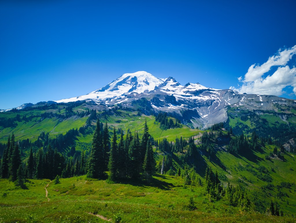
Crossing Stevens Canyon Road
A couple miles before crossing the road, we passed a creek.
Unbenounced to us, that was the last convenient water to fill up before the next 7 miles on hot and humid evening.
I washed my extremely sweaty, sticky, salt-covered face and enjoyed the cold water.
Rick filled his filter bottle.
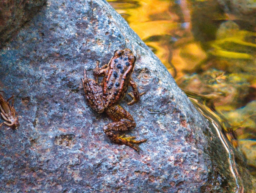
Then he found a frog.
He began taking frog action photographs while I explained how wonderful it would feel if he washed his face. As I moved toward my own filter bottle, Rick said we should leave because he did not want to reach camp at 10:00 p.m.
“But I don’t have water.”
“I have half a liter,” he said.
He also believed we would pass a campground with potable water taps.
We left.
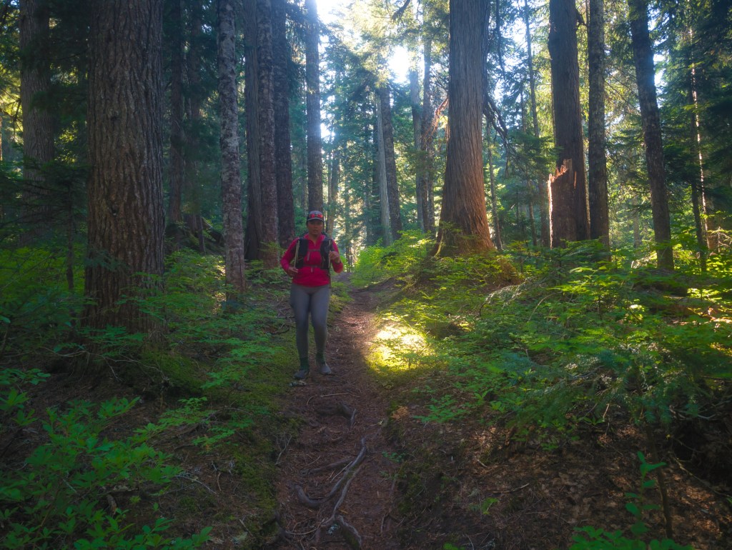
Laughingwater Creek Trail
After crossing the road, we descended another mile on good trail, passed a beautiful blue waterfall, and reached a sign.
Three Lakes was 6.3 miles uphill.
The nearby Ohanapecosh campground was closed. Signs warned that entering closed areas was a federal offense. Nearest camp with possible potable water was 1.2 miles away. I was not in a mood to do any extra mileage than I needed to do so we crossed a bridge and began climbing Laughingwater Creek Trail.
The full section to Three Lakes involved approximately 7.3 miles and 3,000 feet of elevation gain. The trail had been named accurately. For miles, we could hear water running through the forest, lakes on the map but no water that can be easily accessed without a detour.
Much of it flowed through below steep slopes. Between us, we had less than half a liter remaining, and both of us had been sweating heavily in the heat. Rick repeatedly checked the map and identified a lake to the left of the trail near mile 23, approximately 2.5 miles into the climb. We assumed that we could fill water there.
About two miles into the climb, we passed a small creek. It was not perfectly convenient, but it appeared reachable without a major detour.
Rick reminded me that the lake was ahead.
We continued.
When we reached the lake’s approximate location, I removed my sun shirt, sat on a log, and tried to cool down while simultaneously serving as dinner for the local mosquitoes.
Rick carried a two-liter soft flask and a half-liter flask toward the lake.
A few minutes later, he returned.
He could not find a practical way to reach the water.
Looking at the map afterward, I could see that the lake was not nearly as close to the trail as it appeared while we were moving.
We checked our supply.
Approximately one-quarter liter remained, plus whatever molecules were adhering to the inside of my nearly empty flasks.
I suggested that we ration it and continue.
Rick looked deeply concerned. He told me to move ahead while he ran approximately half a mile back to the small creek.
We split up—but with entirely different understandings of the plan.
Rick believed I would move slowly and wait somewhere.
I believed I was now responsible for getting myself to Three Lakes before becoming heat-exhausted.
We had approximately 4.3 miles remaining. Based on the elevation profile, I estimated that the climb averaged close to 500 feet per mile.
I decided to move as quickly as possible while I still had enough energy and coordination.
Suddenly, I was climbing much faster than I had earlier in the day.
Humans carry more capacity than they realize. Sometimes they merely need an urgent objective, such as reaching water before their body begins formal shutdown procedures.
The situation was uncomfortable rather than immediately life-threatening. We knew that Three Lakes had water. The question was how thirsty, overheated, and miserable we would become before reaching it.
We had survived worse decisions. During our rock climb of Epinephrine in Red Rock Canyon, we carried only 3.5 liters of electrolyte water between us for 15 hours 34 minutes of climbing and hiking through the desert.
So I mentally addressed the trail:
Laughing back at you, Laughingwater Creek. We have survived worse.
Near mile 26, I stopped and attempted to extract the final molecule of water from my flask.
Then I heard trekking poles behind me.
I assumed it was Rick and resumed moving.
A moment later, he yelled, “Sandy!”
He looked alarmed. He had been chasing me for approximately 30 minutes, moving as quickly as he could and wondering why he could not catch me.
Then he said I had been going extremely fast.
At that moment, those were the only words that mattered to me. “You were so fast Sandy”.
He handed me approximately 0.7 liters of water.
I drank it immediately.

Three Lakes: the end of Day 1
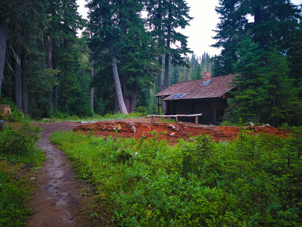
We reached Three Lakes at 9:33 p.m. Darkness caught us only during the final half-mile.
I began inflating the sleeping pads and pillows while Rick hurried to the nearest lake to confirm that this body of water—unlike the previous one—could actually be reached.
Fortunately, it could.
We prepared our freeze-dried dinners. Rick had spent much of the morning looking forward to trying them. Each meal contained approximately 700 calories and 54 grams of protein. After a full mountain day, 54 grams of protein sealed inside a bag was enough to make me genuinely excited.
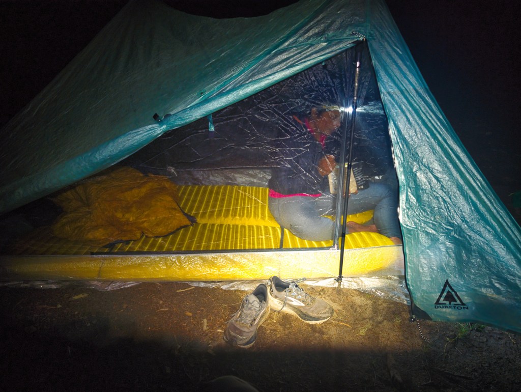
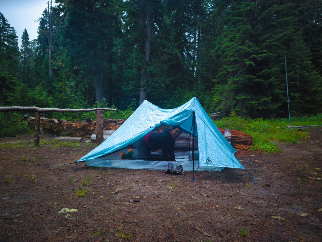
By 10:45 p.m., we were inside the tent.
The campground was completely empty.
An empty backcountry campground seems peaceful during daylight. After dark, it begins to resemble a private dining reservation for bears and cougars. Every 30 minutes to an hour, my brain woke me with the same announcement:
You are unsafe. Something is coming.
At approximately 1:30 a.m., I woke Rick and told him I was frightened because nobody else was at the campground.
“I’m awake now,” he said. “You can sleep.”
Five minutes later, he began snoring. Apparently I only had a five minute window to fall asleep.
At around 2:00 a.m., I attempted to reason with my brain:
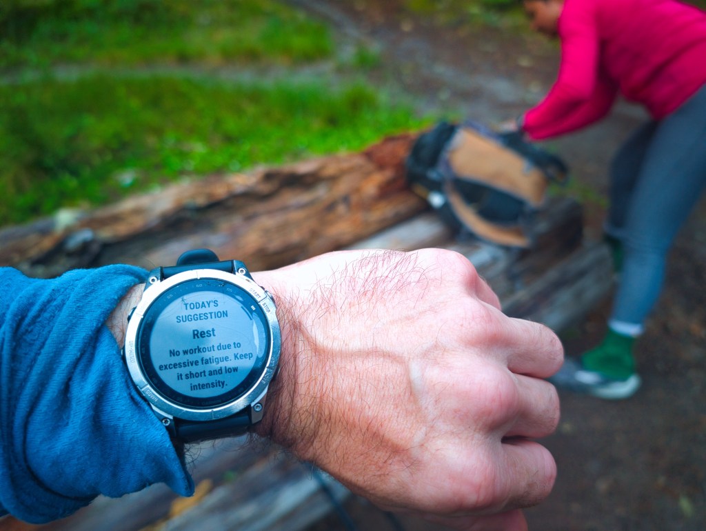
If we survive the night, tomorrow will be terrible unless you let me sleep. The argument achieved limited success.
Day 2: Three Lakes to White River via Chinook Pass and Owyhigh Lakes
We woke at 5:00 a.m., made excellent coffee, packed camp, and started at 6:07 a.m.
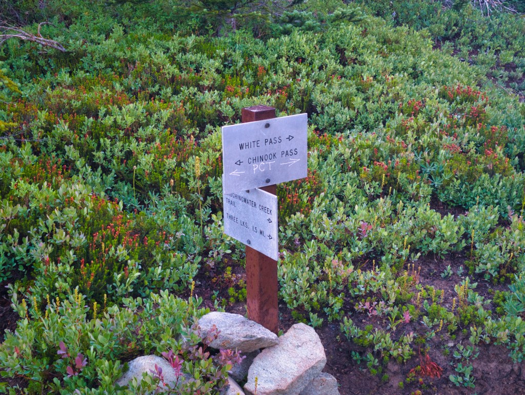
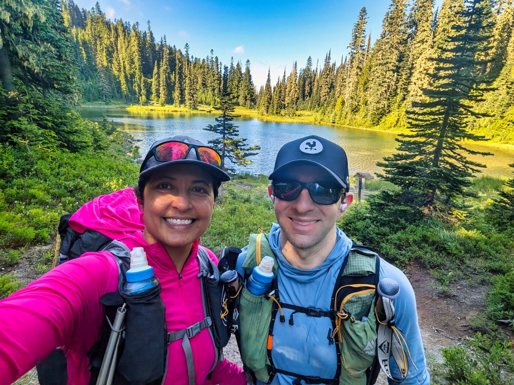
The first mile climbed through heavily overgrown vegetation. Everything was soaked with condensation from the nearby lakes, so the morning began with a cold botanical shoe wash. Over the next two miles, we passed two additional lakes and eventually reached the junction where Laughingwater Creek Trail met the Pacific Crest Trail.
Three Lakes to the Pacific Crest Trail
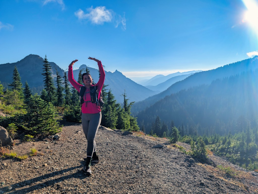
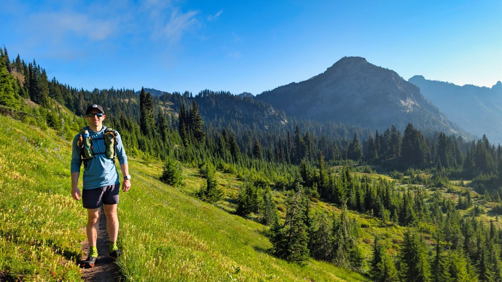
The PCT was scenic, runnable, and cool. After the heat and smoke of Day 1, the morning felt magnificent. I thoroughly enjoyed the first 11 miles.
Near mile ten, we reached Dewey Lake, a large and beautiful lake with a campground that does not require a backcountry permit. The entire area was exceptionally scenic. Because we had consumed coffee but skipped a proper breakfast, we stopped shortly after Dewey Lake before beginning another climb.
Four women passed us.
A few moments later, we heard them loudly calling, “Hey, bear!”
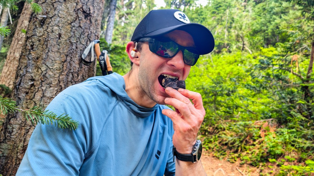
Rick appeared completely unaware of this development because he was occupied by a more urgent wilderness challenge: eating four peanut-butter cups that had melted into one unified structure. I wondered whether the possible bear had smelled our food. I finished eating within five or six minutes and began climbing. Rick said he will join me in a few minutes.
Something moved quickly through the vegetation to my right.
It was Saturday, there were many people nearby, and black bears generally try to avoid humans. I put my headphones back on and continued listening to Endure by Alex Hutchinson. Nothing demonstrates confidence in one’s wilderness judgment quite like listening to a book about human endurance while a possible bear moves through the bushes beside you. Shortly afterward, several hikers approached from the opposite direction.
“Did you see the bear?” one asked.
I did not hear him because of the audiobook.
Another hiker repeated the question.
“I saw something moving, but I didn’t see a bear.”
Rick joined me several minutes later. He had not seen it either. The women had apparently warned everyone descending the trail. By then, the bear—assuming there had been one—had probably left. Black bears generally possess better judgment than tourists and ultrarunners.



Pacific Crest Trail to Chinook Pass
We continued north along the PCT toward Chinook Pass through cool, scenic, relatively runnable terrain. Near total mile 38.8, we reached a marked junction and followed the Naches Peak Loop/Tipsoo Lake connector toward Highway 410. Before reaching the highway, we found the Eastside Trail.

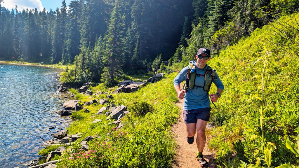
Eastside Trail: maintained by elk
The Eastside Trail became the second notably rough downhill of the trip. It receives much less traffic than the Wonderland Trail or PCT. Rick described it as elk-maintained. There was enough elk droppings to confirm that members of the maintenance department had recently visited. Unfortunately, their standards for clearing vegetation and removing obstacles appeared inconsistent. Much of the descent was manageable, and there was abundant water. However, numerous obstructions interrupted the trail, and the route clearly did not receive heavy human traffic. After approximately five miles of descending, we reached another intersection and turned onto Owyhigh Lakes Trail.
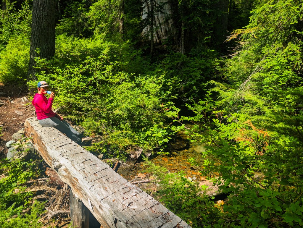
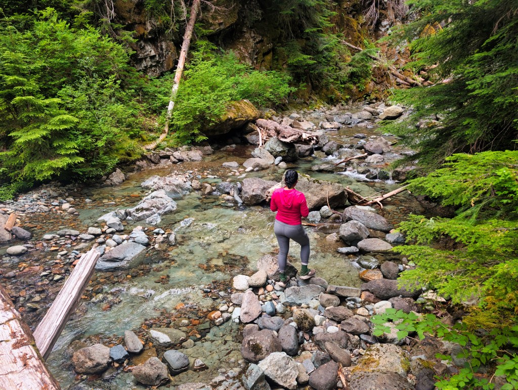
Climbing to Owyhigh Lakes
The climb to Owyhigh Lakes covered approximately four miles, mostly on good trail. Several large fallen trunks blocked the route. Some required us to crawl underneath them. After approximately 46 miles, I had lost enthusiasm for lowering myself beneath trees and then standing upright again with a fastpacking pack. The trail deteriorated during the final couple of miles before the lakes. After Summerland, Indian Bar, Three Lakes, Dewey Lake, waterfalls, wildflowers, and miles of alpine scenery, Owyhigh Lakes faced a difficult task: impressing us at around mile 50.
They did not.
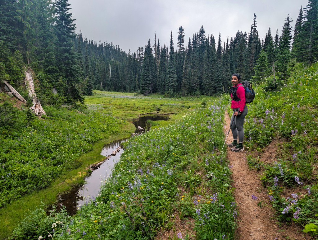
Of all the lakes we had seen, Owyhigh Lakes were the most underwhelming. Perhaps they are spectacular when approached by rested people. At that stage, they appeared to be perfectly adequate collections of water. Fortunately, the trail beyond them was in excellent runnable condition.

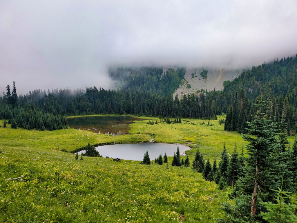
Owyhigh Lakes to Sunrise Park Road
Immediately after the lakes, we began approximately five miles of well-maintained, relatively nontechnical descent.
We stopped once for water and spoke with several people climbing toward camp. Despite the water break, conversation, and more than 50 miles already behind us, we averaged approximately 19 minutes per mile from miles 51 through 56. That was one of the most encouraging parts of the trip. Even after two long days, poor sleep, heat, smoke, and substantial climbing, we could still run efficiently when the trail surface allowed it.
Sunrise Park Road to the Summerland trailhead
After reaching the Owyhigh Lakes trailhead, we walked approximately 0.6–0.7 miles along Sunrise Park Road. The road had very little shoulder, and vehicles approached quickly. We repeatedly looked behind us while moving along the pavement. Despite the traffic risk, I was strangely happy to walk on a smooth surface. After nearly 60 miles of roots, rocks, snow, stairs, blowdowns, and elk trail engineering, asphalt felt luxurious.
Wonderland Trail back to White River
We reached the Summerland trailhead and followed the connector to the Wonderland Trail. The junctions were clearly marked, which was deeply appreciated by two tired people whose remaining navigational ambition was to locate the car. The final three miles included approximately 585 feet of climbing. I did not run them. We still averaged close to 22 minutes per mile, which seemed entirely acceptable after the distance already behind us.
Finally, we reached the White River.
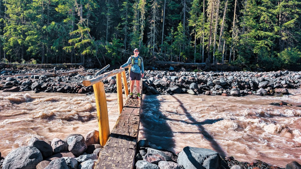
It was raging much more forcefully than it had been at the beginning of the trip. The bridge was wet, and the log crossing looked somewhat precarious—particularly through the eyes of legs that had already covered nearly 60 miles and climbed approximately 15,280 feet.
We crossed carefully and reached the car at 6:40 p.m.
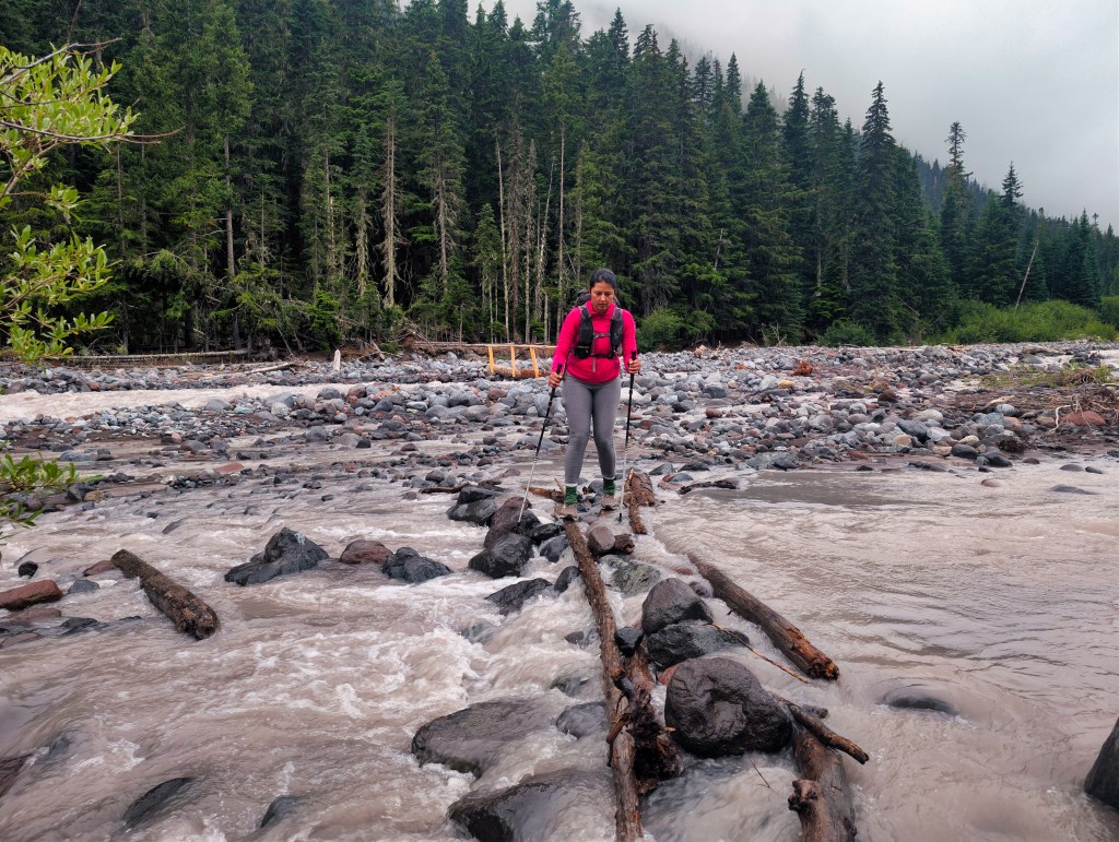
The Mount Rainier Summerland-Chinook Pass loop was complete.
Ramen, caffeine, and a nervous system refusing to stop
We changed clothes, cooked quick ramen, and began taking turns driving back to Portland. A few caffeine pills on the trail and Rick’s morning coffee had worked extremely well. We remained alert throughout Day 2 and during the drive home. Possibly too well. We reached bed at approximately 10:30 p.m. but could not fall asleep without melatonin. Our legs had stopped moving. Our nervous systems had not received the message. Caffeine certainly contributed, but I also wondered whether our brains remained trapped in fight-or-flight mode.
Thursday night, passing cars had repeatedly awakened us.
Friday night, I had been waiting for a cougar to arrive if the bear decided to spare us.
Saturday involved another 12.5 hours of continuous movement.
After Three Sisters, Loowit, and Timberline, we had fallen asleep almost immediately. This trip produced the opposite effect.The Mount Rainier Summerland-Chinook Pass Loop had awakened something deep within us.
Unfortunately, it awakened it at bedtime.
What the pace revealed
Our average pace from miles 15 through 20, including the rough Cowlitz Divide descent, was 21:22 per mile.
For comparison:
- Our net-downhill miles on Timberline averaged 21:01 per mile
- Our net-downhill miles on Three Sisters averaged 18:00 per mile
- Our smoother descent from Owyhigh Lakes, after more than 50 total miles, averaged 19 minutes per mile
The numbers confirm that I can move considerably faster downhill when the trail is smooth and runnable.
My main limitation is consistency on technical terrain with overnight packs. Large steps, unstable rocks, roots, erosion, and repeated obstacles cause me to brake, pause, and restart. Improving that skill may be the lowest-hanging fruit in my preparation for a future adventures.
Lessons from the loop
1. Smoke conditions can change
Smoke concentration varies with wind, elevation, temperature, and time of day. Unless there is an immediate safety concern or an easy bailout, current conditions do not necessarily predict conditions several hours later. The air improved as we climbed and the temperature fell.
2. Fill water before photographing wildlife
When an accessible source appears during a hot and uncertain stretch, fill every required container before doing anything optional.
A lake shown beside a trail on a map may not be practically accessible.
A frog will probably remain photogenic for another two minutes.
3. The body often has more available than the mind believes
Once reaching water became urgent, I climbed much faster than I had earlier.
This does not make dehydration an advisable performance strategy. It demonstrates how dramatically perceived limits can change when the objective becomes nonnegotiable.
4. Sleep while imaginary predators permit it
Six hours inside a tent is not necessarily six hours of restorative sleep. Heat, fear, noise, and an activated nervous system can substantially affect the following day.
Still, as I explained to my brain during the night, surviving a cougar attack only to ruin Day 2 through sleep deprivation would be inefficient.
5. A bad hour is not the entire trip
Heat, smoke, thirst, rough trail, and fatigue can make one section feel endless.
But conditions change. Temperatures fall. Trails improve. Water eventually appears. A terrible hour does not predict the next six.
The best response is often to continue moving intelligently and allow the situation time to change.
6. Technical descending is my clearest opportunity for improvement
My climbing endurance is strong, and I can descend quickly on smooth trail. Becoming more continuous and confident on technical descents could save substantial time without requiring a dramatic increase in cardiovascular fitness.
Final thoughts
This route connected some of Mount Rainier’s most beautiful east-side terrain: Summerland, Panhandle Gap, Indian Bar, Cowlitz Divide, Three Lakes, Dewey Lake, Chinook Pass, Eastside Trail, and Owyhigh Lakes. It gave us nearly 60 miles, approximately 15,280 feet of climbing, two long days, one empty campground, one possible bear, several imaginary predators, a serious water shortage, an inaccessible lake, a photogenic frog, elk-maintained trail, and enough caffeine to keep us awake after the adventure had ended. It was hot, smoky, rough, beautiful, occasionally frightening, and frequently ridiculous. In other words, it was exactly the kind of trip that becomes much more enjoyable once it is over.

